Kapaa, Kauai
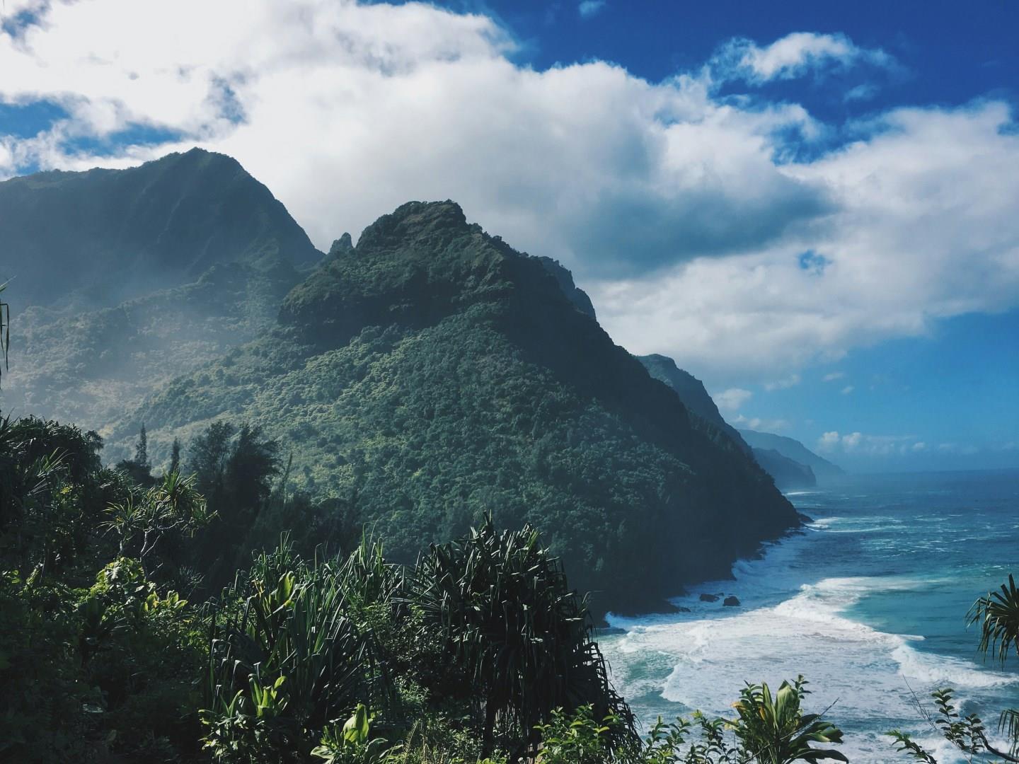
Kapaa, a coastal town on the east side of Kauai, offers a laid-back alternative to Hawaii’s more developed resort areas. Despite its small size, Kapaa is one of the most populated towns on the island, making it a central hub for exploring the Coconut Coast, a stretch of shoreline dotted with towering palms and scenic overlooks.
East End
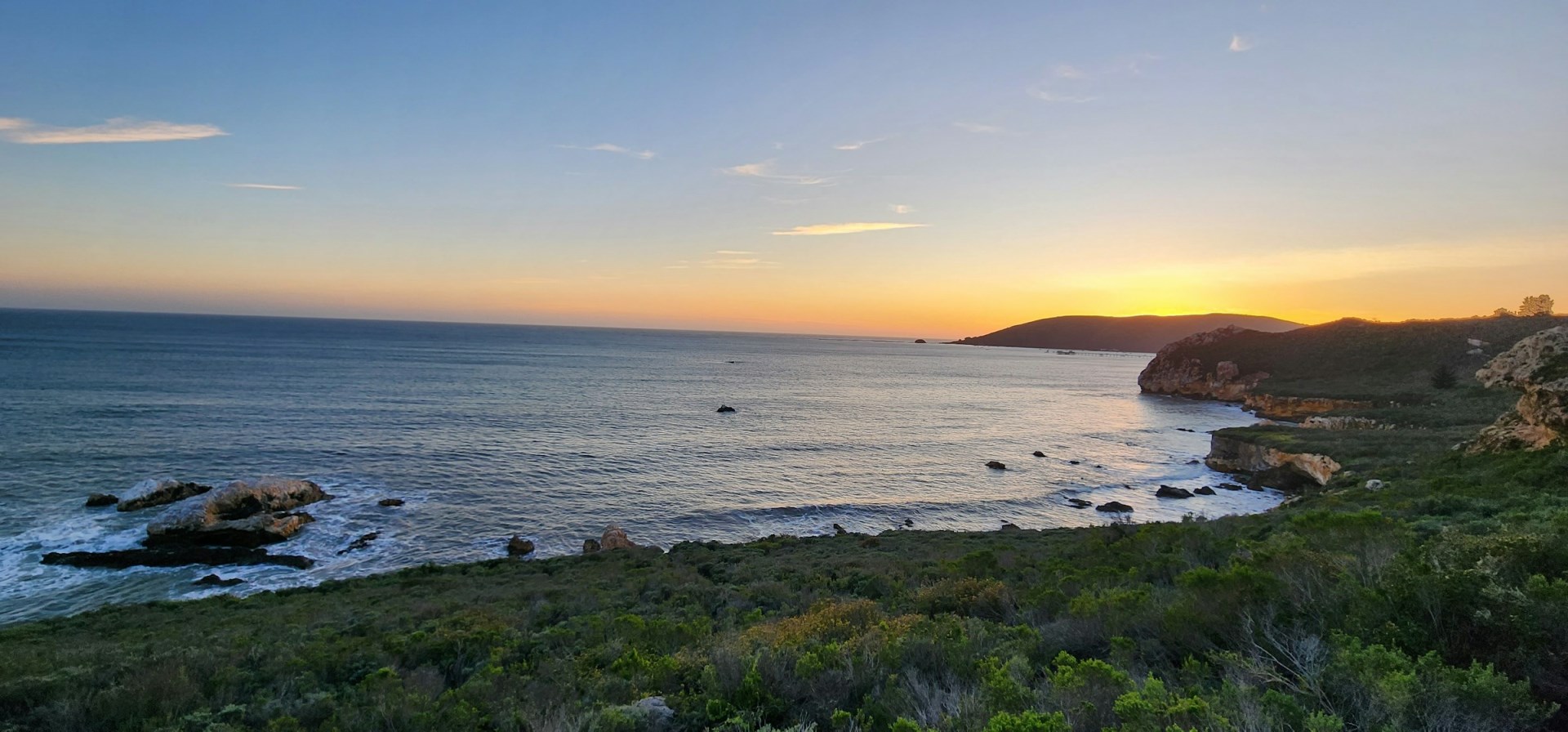
East End is a district on the eastern side of Grand Cayman, facing the open Caribbean Sea and covering a quieter stretch of the island away from George Town and the main resort areas. The district includes small settlements, low coastal vegetation, rocky shorelines, beaches, and shallow reef areas.
Florianópolis
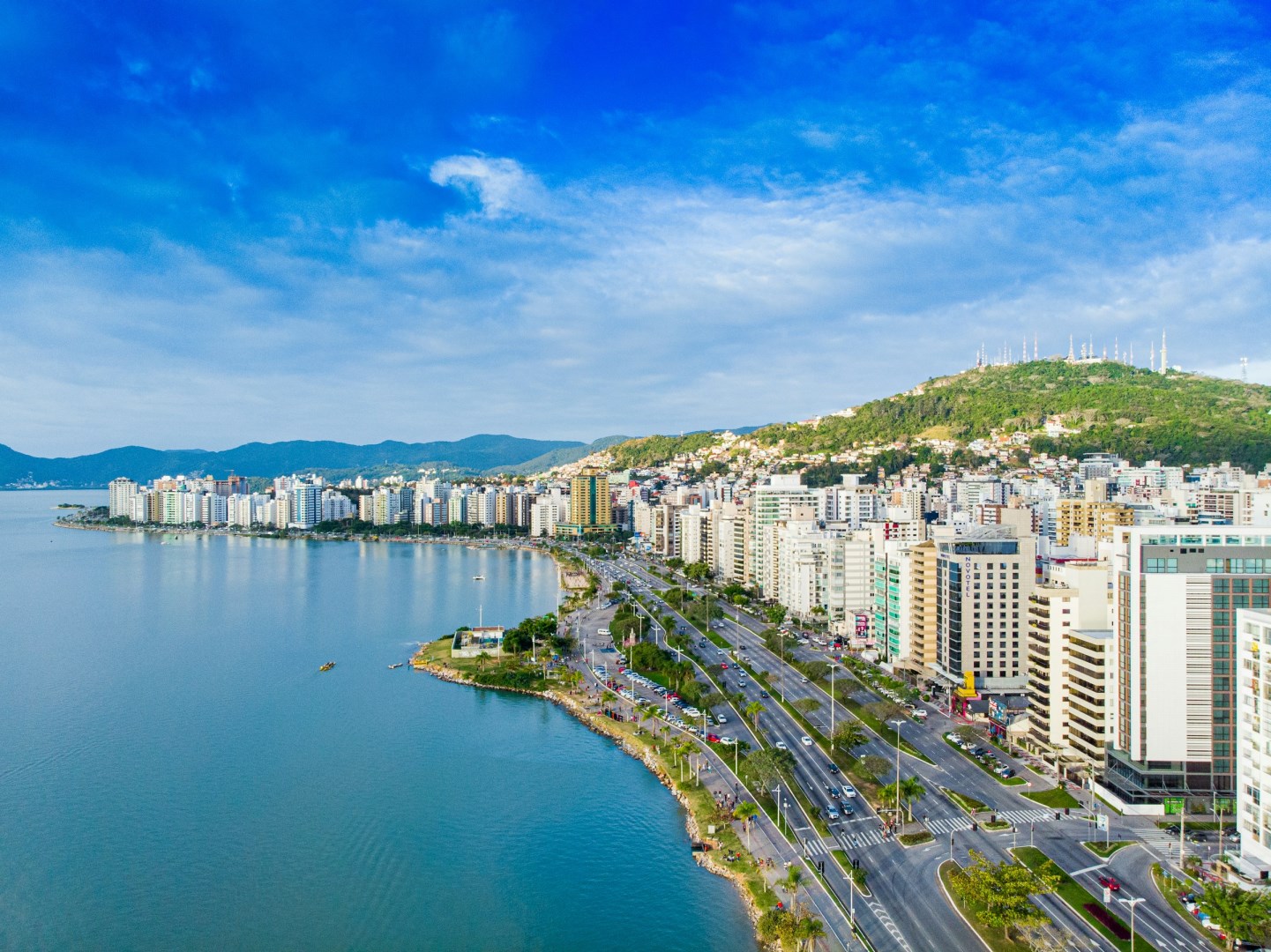
Florianópolis is the capital of Santa Catarina and occupies most of Santa Catarina Island, with another part of the city on the mainland. Known locally as Floripa, it is shaped by a long coastline of beaches, lagoons, dunes, forests, and rocky hills. The island has more than 40 beaches, ranging from open Atlantic shores to sheltered bays and calm waters. Lagoa da Conceição lies near the center of the island and connects several distinct areas of the city.
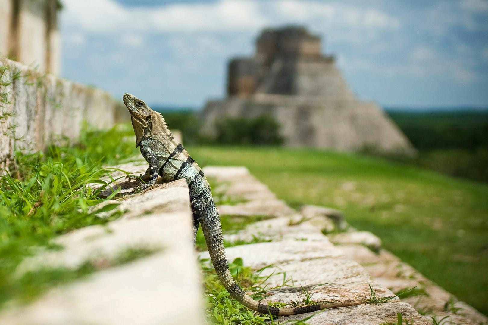
Uxmal
Uxmal, located about 80 kilometers south of Mérida in the Puuc region of Yucatán, is one of the most architecturally refined ancient Maya cities. Unlike other major Maya sites built with steep pyramids and narrow passageways, Uxmal is known for its smooth limestone structures, wide plazas, and intricate stone mosaics. One unique experience available to visitors is the nightly light and sound show, which uses colored projections to highlight carvings and narrate local legends and Maya cosmology.

Morelia
Morelia, the capital of Michoacán, is a city that wears its history in stone. Built in the 16th century and recognized as a UNESCO World Heritage Site, its historic center is filled with over 200 colonial-era buildings made from pink cantera, a soft volcanic stone that gives the city its distinct look. The centerpiece is the Morelia Cathedral, a massive baroque structure that features twin towers that light up every Saturday night with a fireworks and music display.