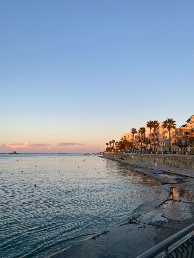
St. Paul's Bay
St. Paul’s Bay is a coastal town in northern Malta that stretches around a broad, indented section of the island’s northeastern shoreline. The area includes the neighborhoods of Bugibba, Qawra, and the original fishing settlement around St. Paul’s Bay itself. Its waterfront combines rocky shores, small bathing areas, marinas, promenades, and commercial streets filled with cafés and restaurants.
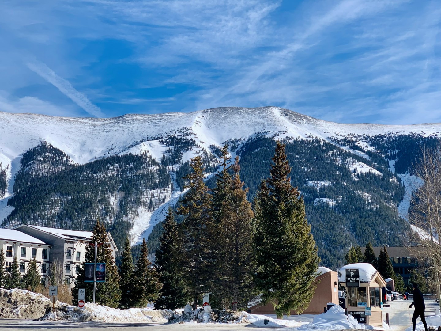
Copper Mountain
Copper Mountain is a mountain resort community in Summit County, Colorado, located along the Tenmile Range between Frisco and Leadville. The area is centered on Copper Mountain, whose ski terrain rises from a base area near 9,700 feet to elevations above 12,000 feet. The resort is known for terrain that follows the mountain's natural contours, with easier slopes generally lower on the mountain and more challenging terrain toward the higher elevations.
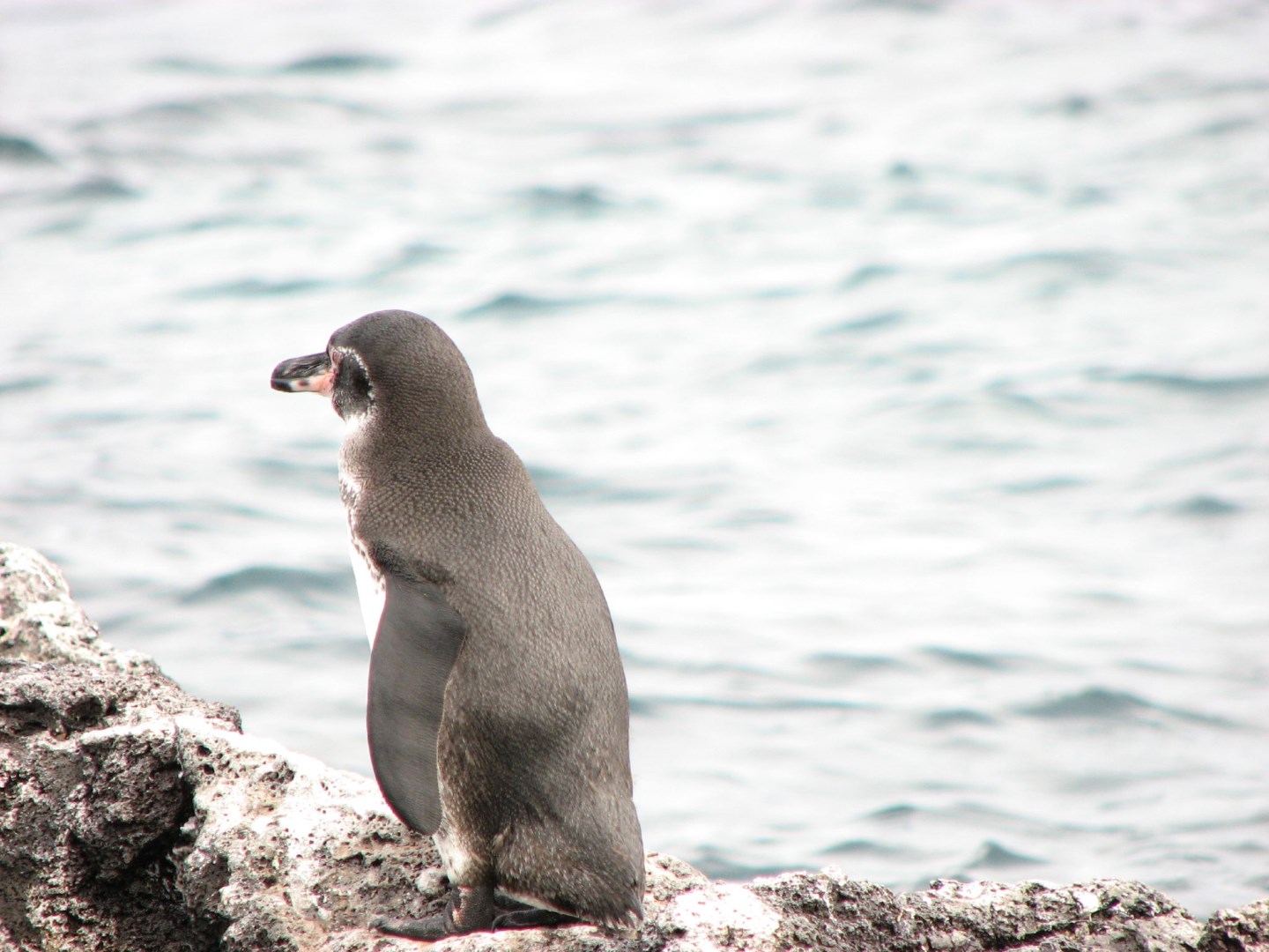
Eden Islet
Eden Islet is a small volcanic tuff cone rising from the clear waters off the northwest coast of Santa Cruz Island. Though visitors cannot set foot on the rocks, the islet’s dramatic shapes and steep cliffs offer striking views as boats circle its perimeter. Guides often point out coastal mangroves and lava formations that hint at the volcanic forces that shaped this part of the archipelago.

Baltimore
Baltimore's unique blend of historical significance, cultural richness, and scenic beauty makes it a must-visit destination. Whether you're exploring its museums, enjoying its waterfront, or diving into its historical roots, Baltimore offers an engaging and memorable experience.
Aguas Calientes
Aguas Calientes, officially called Machupicchu Pueblo, sits in a narrow valley below the ruins of Machu Picchu, shaped almost entirely by geography and access. The town grew around the railway and hot springs that give it its name, becoming a necessary stopping point rather than a destination planned in advance. Its identity is closely tied to movement, with most people arriving on foot or by train and staying briefly before heading uphill.