
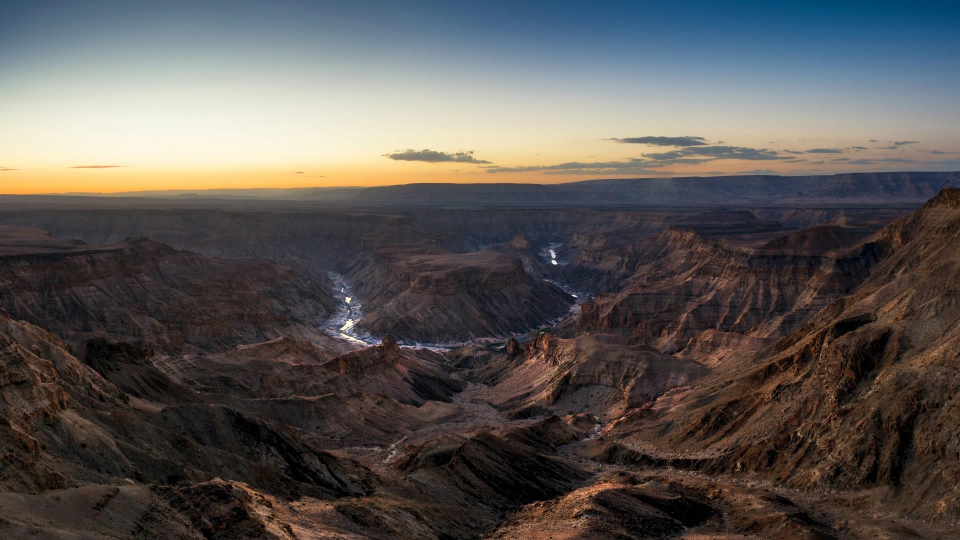
Fish River Canyon
The Fish River Canyon in southern Namibia is one of the planet’s most remarkable landforms, stretching across vast terrain in the Richtersveld Transfrontier Park. It is one of Africa’s largest canyons, carved over millions of years by the Fish River as it etched a deep, twisting gorge into the desert plateau. From high viewpoints like Hell’s Bend, visitors can see layers of rock dropping away to reveal ridges and ravines that seem to go on forever, all under wide, open skies.
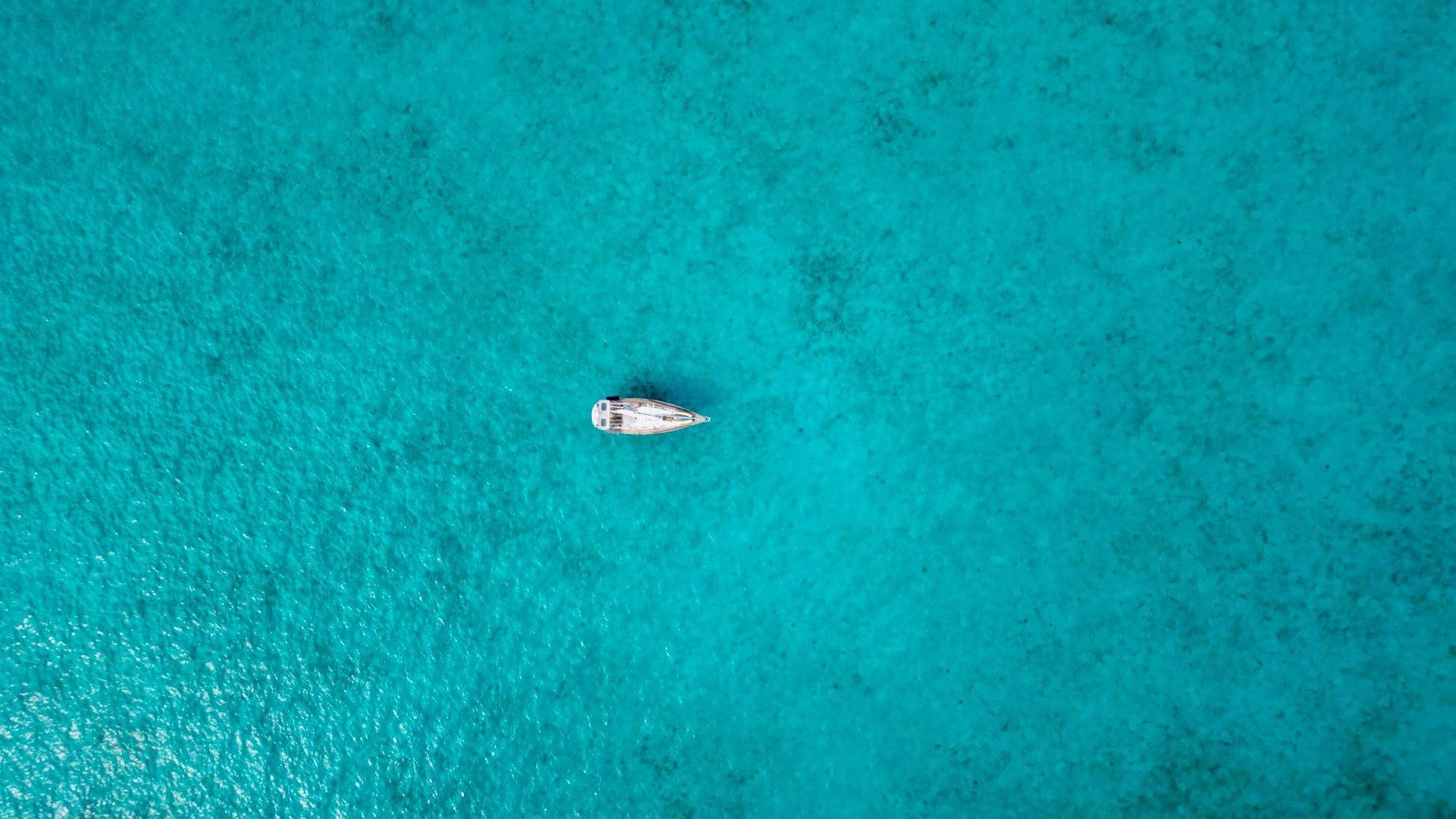
Long Island
One of the "Out Islands" of the Bahamas, Long Island lies at the eastern reaches of the more than 700 islands and cays that make up thisspectacular archipelago. Located on the Tropic of Cancer, approximately 160 miles southeast of Nassau (a one hour flight), it covers nearly 230 square miles and is 70 miles long by five miles at its widest point.
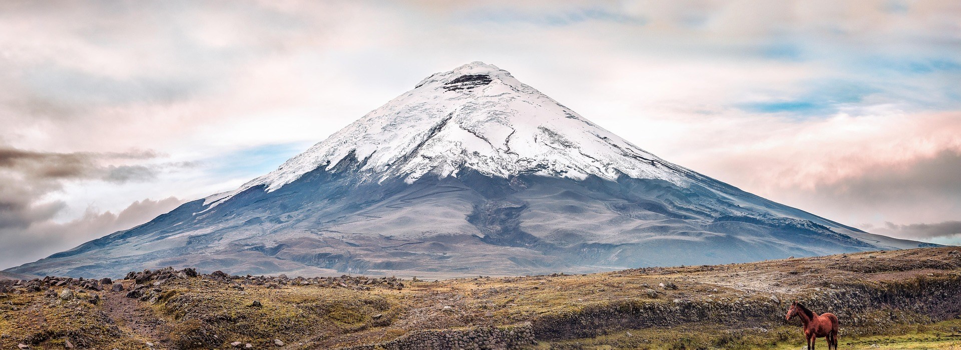
Cotopaxi National Park
Cotopaxi National Park is a protected Andean landscape in Ecuador, located around the snow-capped Cotopaxi volcano and extending across the provinces of Cotopaxi, Pichincha, and Napo. Its high-altitude terrain includes volcanic plains, grasslands, wetlands, and rugged mountain slopes. Cotopaxi, one of the world's highest active volcanoes, dominates the park and rises above the surrounding páramo.
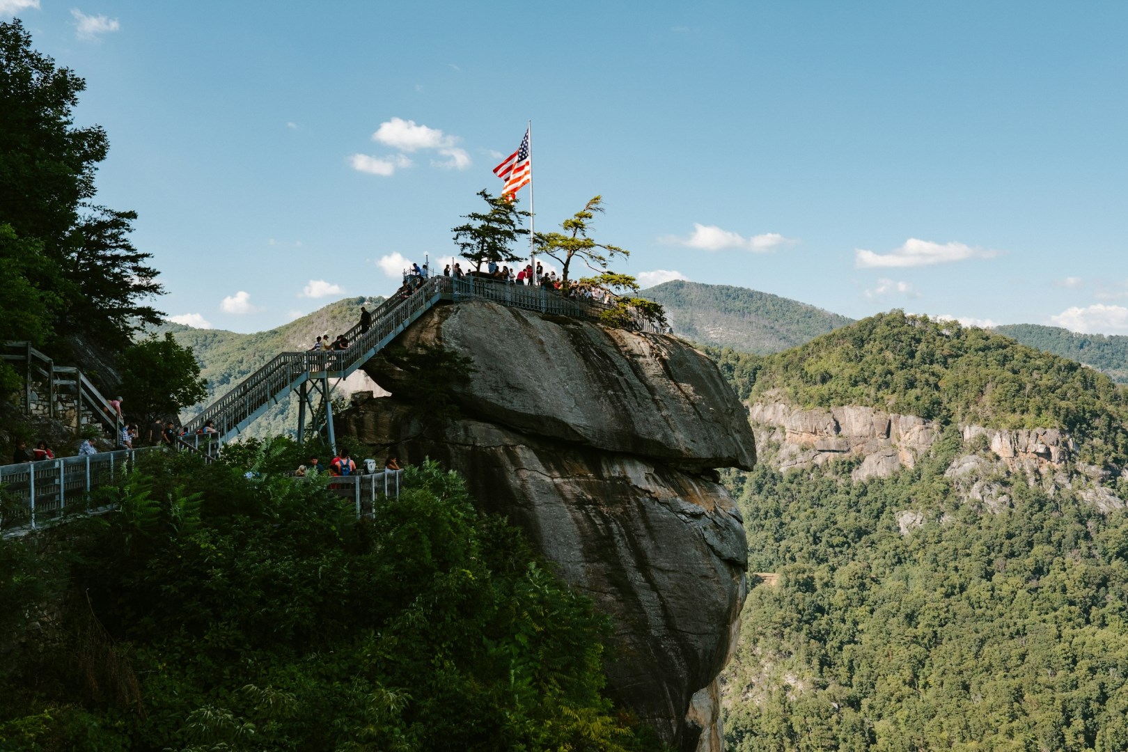
Lake Lure
The lake is approximately 720 acres, with about twenty-one miles of shoreline. National Geographic has called Lake Lure one of the most beautiful man-made lakes in the world.
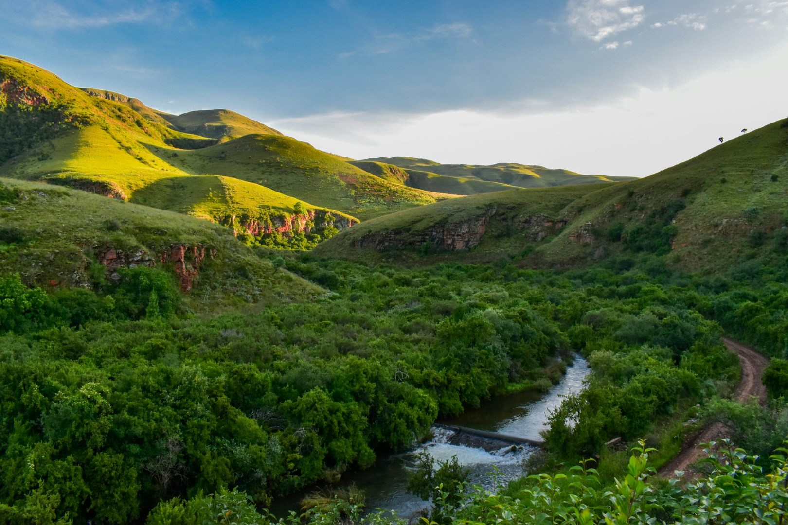
Mpumalanga
Mpumalanga is a province in northeastern South Africa, stretching from the grass-covered Highveld to the subtropical Lowveld along the border with Mozambique and Eswatini. Its name means “place where the sun rises” in siSwati. The province is known for contrasting landscapes, including the escarpment, mountain forests, rolling grasslands, citrus farms, and wildlife-rich bushveld.
