Wailua, Kauai
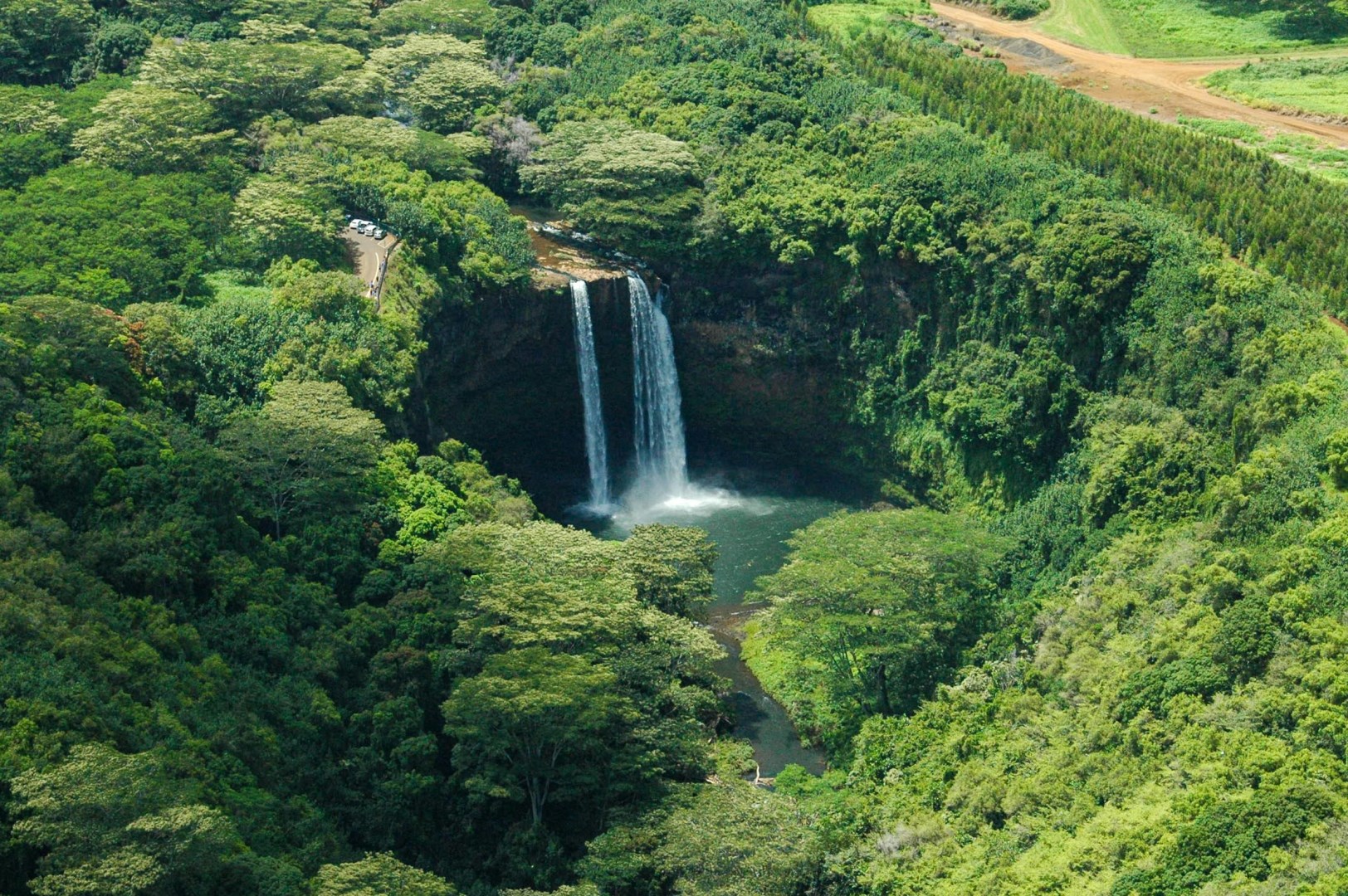
Wailua is a community on the eastern side of Kauaʻi, Hawaiʻi, where the Wailua River reaches the Pacific Ocean. The area includes beaches, river valleys, coconut groves, and forested foothills, with the dramatic peaks of the island’s interior rising nearby. Wailua is one of the main population centers on Kauaʻi and lies between the towns of Kapaʻa and Līhuʻe. Its location provides access to both the island’s eastern coastline and the Wailua River, making it an important base for exploring waterf
Krujë
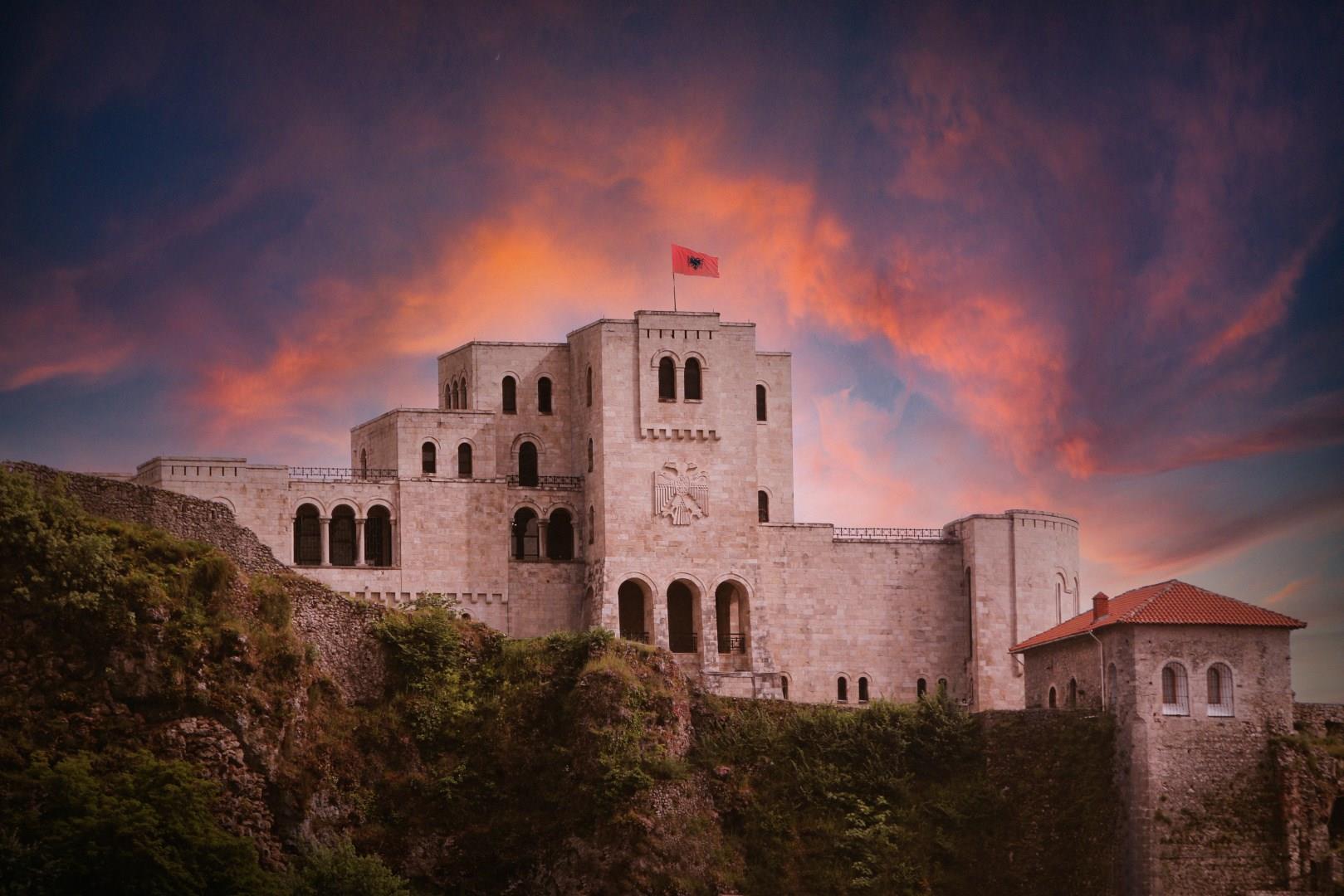
Krujë sits on a rocky hilltop above central Albania and has long been a symbol of the country’s history and independence. At Krujë Castle ancient stone walls rise above the town and offer striking views of the surrounding hills and valleys, and inside the fortress visitors find the Skanderbeg Museum, where armor, documents and displays recount the life and battles of Albania’s national hero.
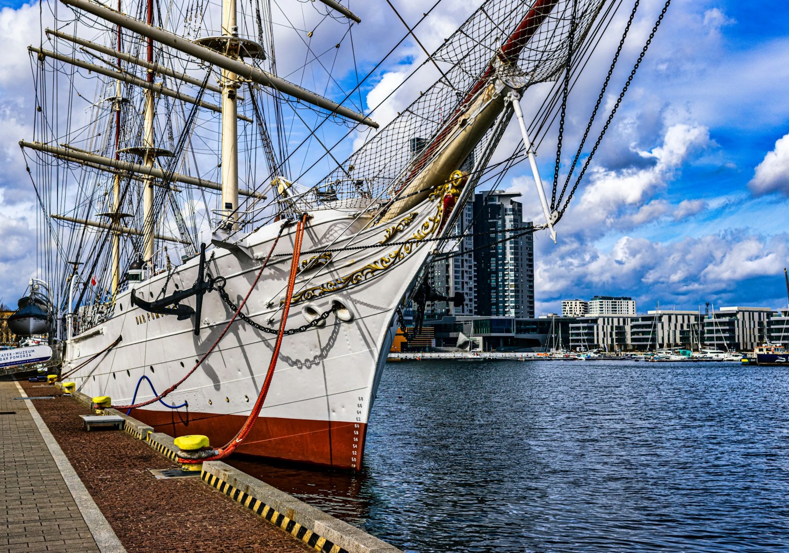
Gdynia
Gdynia is a Baltic Sea port city in northern Poland, forming part of the Tricity urban area with Gdańsk and Sopot. Its character is closely connected to the sea, with a large commercial harbor, marinas, beaches, and a waterfront city center. Unlike many Polish cities, Gdynia has a relatively modern urban fabric, with much of its central district shaped by interwar modernist architecture.
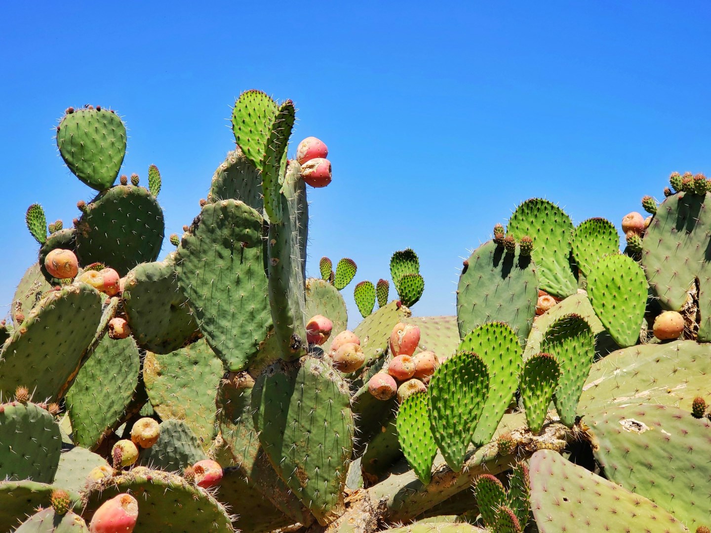
San Juan Teotihuacán
Mexico can be so much more than beautiful beaches. Discover the rich history, culture, and heart of Mexico in Teotihuacan.
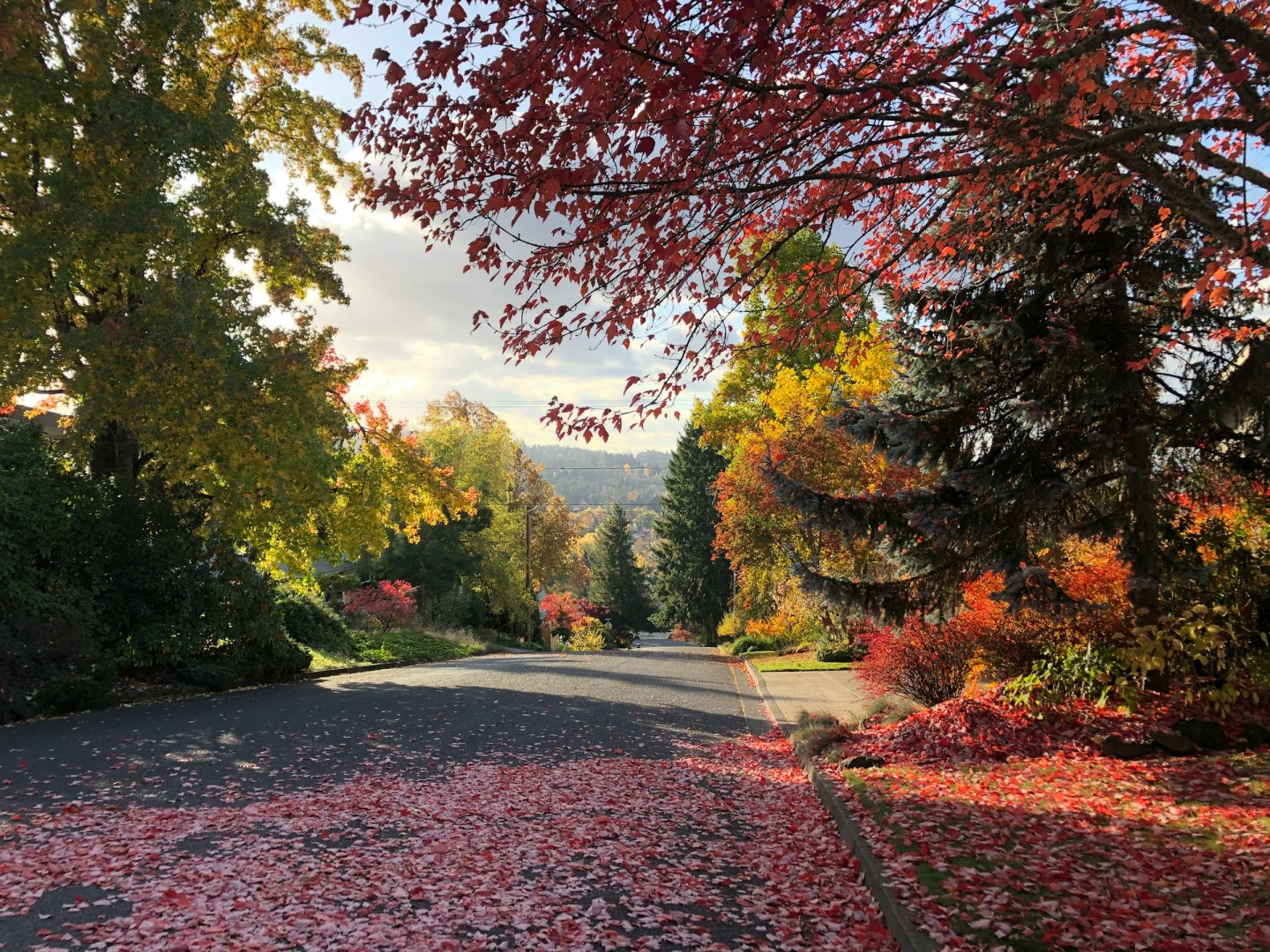
Eugene
Eugene is home of the University of Oregon. It is a culturally and athletically diverse city. Bicycling magazine rates it as one of the top cycling communities in the country because of its numerous scenic bike baths. The Saturday Market features musical performers, arts and crafts, and fresh produce. Neighboring Springfield is the gateway to the McKenzie River Recreation Area, featuring whitewater rafting and camping.