
Punakha
Punakha sits in one of Bhutan’s most fertile valleys, cradled where the Mo Chhu and Pho Chhu rivers meet. For centuries it served as the kingdom’s capital and remains a place rich with stories woven through its fields, temples, and riverbanks. The city’s low elevation brings warmer weather than much of Bhutan’s highland regions, and rice paddies fill the landscape with vivid green during planting and golden hues at harvest.
Berry Islands
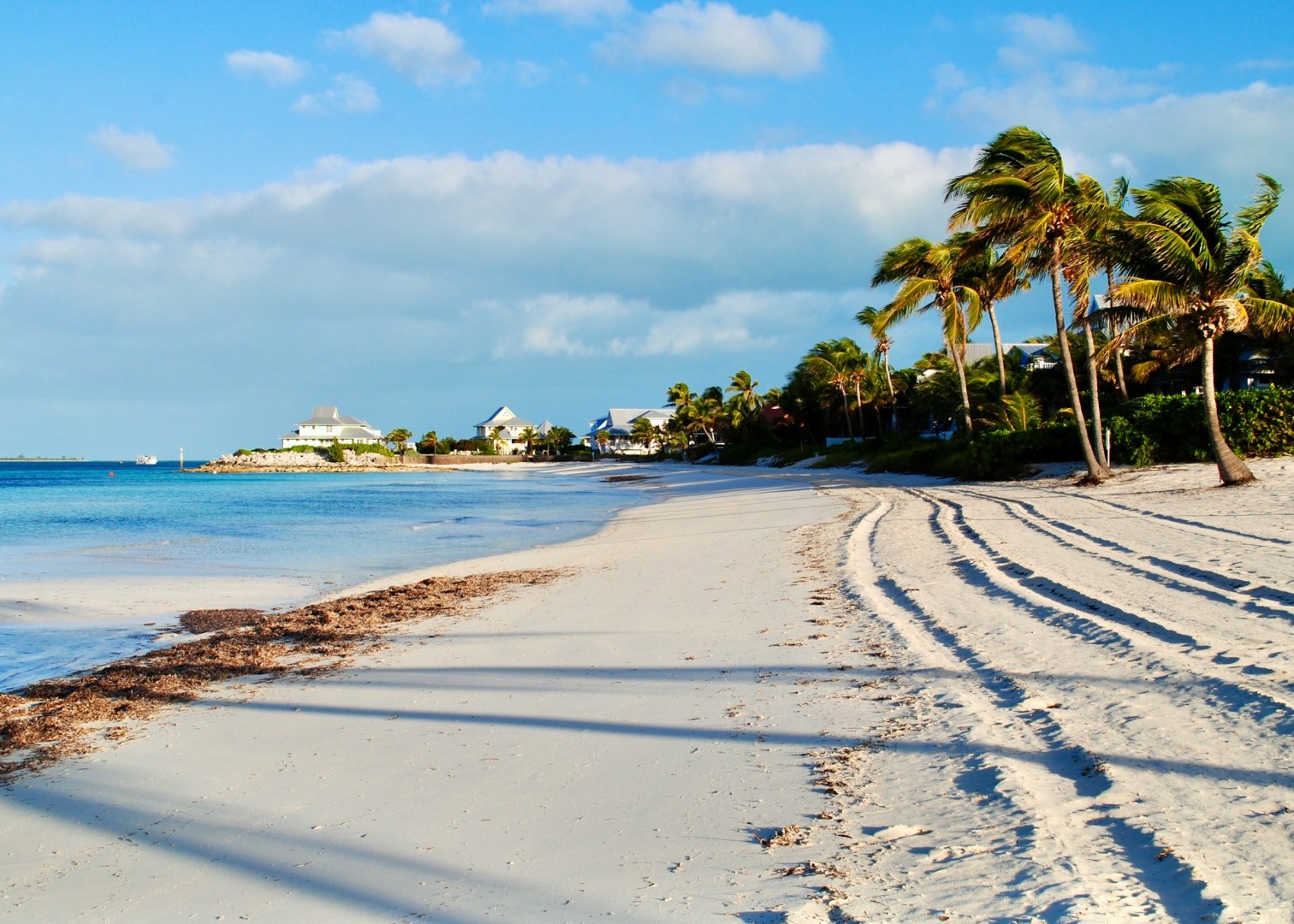
The Berry Islands are a scattered group of small islands and cays in the central Bahamas, located between New Providence and Andros. The archipelago contains Great Harbour Cay, Little Harbour Cay, Chub Cay, and numerous smaller islands surrounded by shallow banks, reefs, and clear Atlantic waters. Much of the landscape consists of low limestone islands with sandy beaches, scrub vegetation, mangroves, tidal flats, and sheltered coves.
Boca Tapada
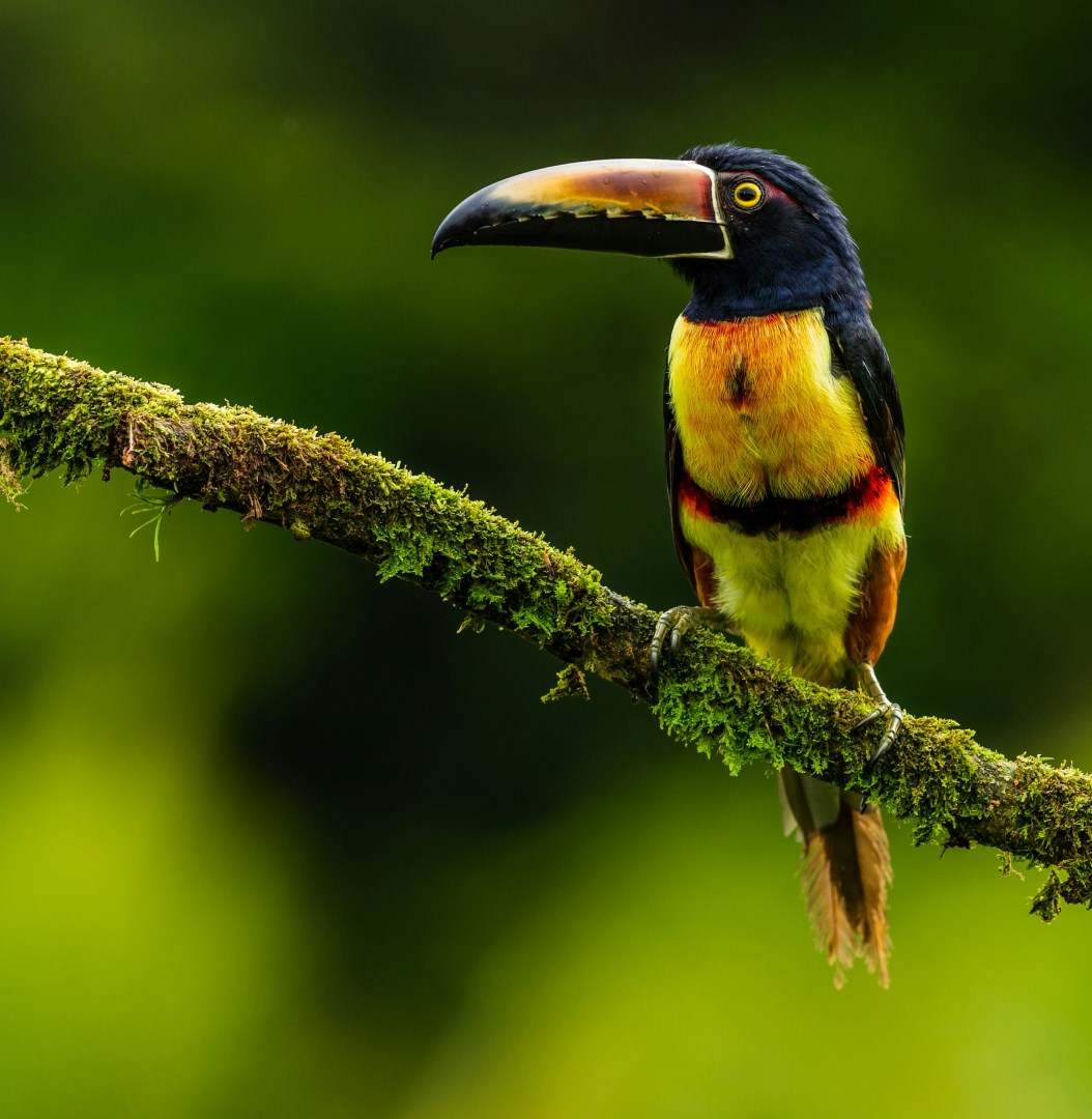
Boca Tapada is a remote rural community in northern Costa Rica, close to the San Carlos River and the border with Nicaragua. The area is surrounded by lowland rainforest, wetlands, rivers, and agricultural land, creating a landscape with a strong connection to water and forest. Boca Tapada is best known for its location near Maquenque National Wildlife Refuge, an important protected area in the northern plains.
Plymouth
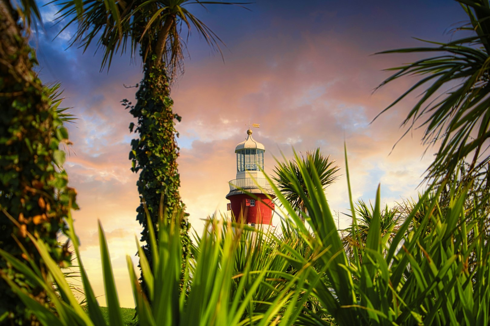
Plymouth sits on England’s southwest coast, where the River Plym meets the sea, forming a wide natural harbor that has shaped the city’s identity for generations. The waterfront remains central to daily life, with views stretching across Plymouth Sound and boats moving in and out of the marina. Visitors often begin along the historic Barbican, an area of narrow streets and old buildings that survived past conflicts and now house independent shops, galleries, and small cafés.
Fernando de Noronha
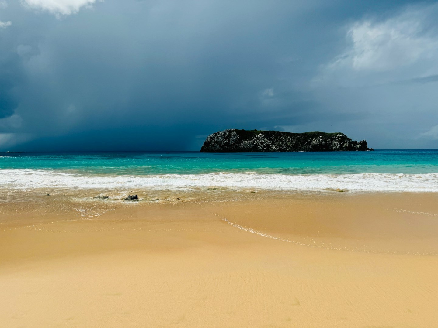
Fernando de Noronha is a volcanic archipelago in the Atlantic Ocean, belonging to the Brazilian state of Pernambuco. The archipelago consists of 21 islands and islets, with only the main island permanently inhabited. Much of the land and surrounding sea is protected through the Fernando de Noronha Marine National Park and the Fernando de Noronha Environmental Protection Area.