Jackson
Known as "The City with Soul," Jackson is a popular hub for a variety of music genres, including jazz, gospel, and blues music. Highlights include the Jackson Zoo, the Mississippi Museum of Art, and the Mississippi Civil Rights Museum.
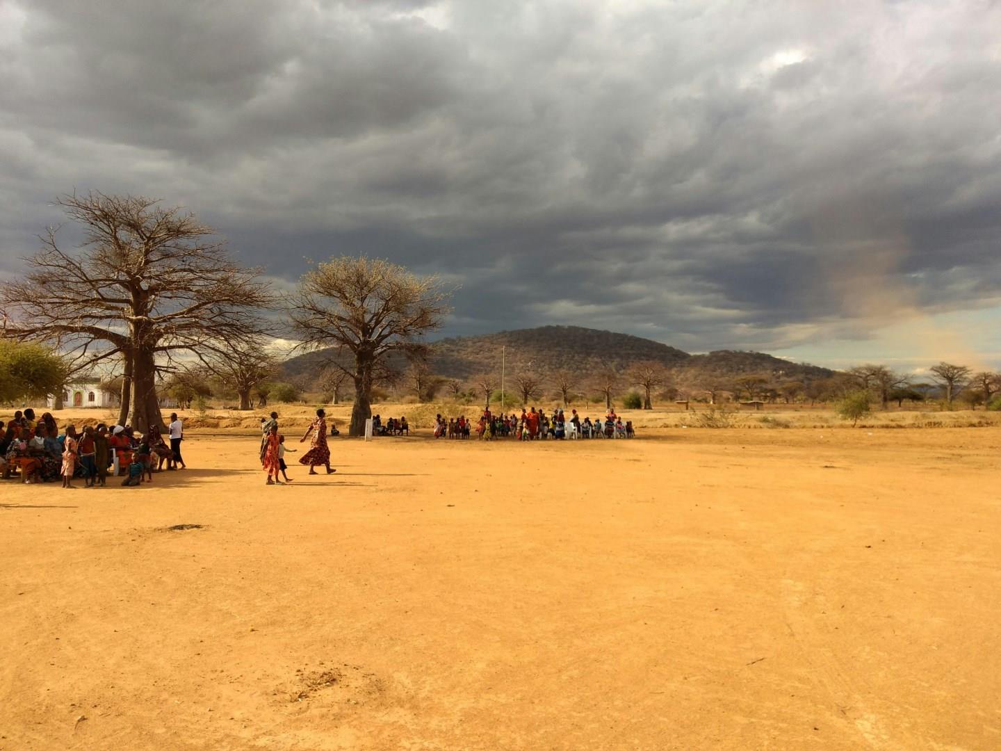
Dodoma
Dodoma, the capital of Tanzania, is a city that sits in the heart of the country, surrounded by rolling hills and semi-arid plains.
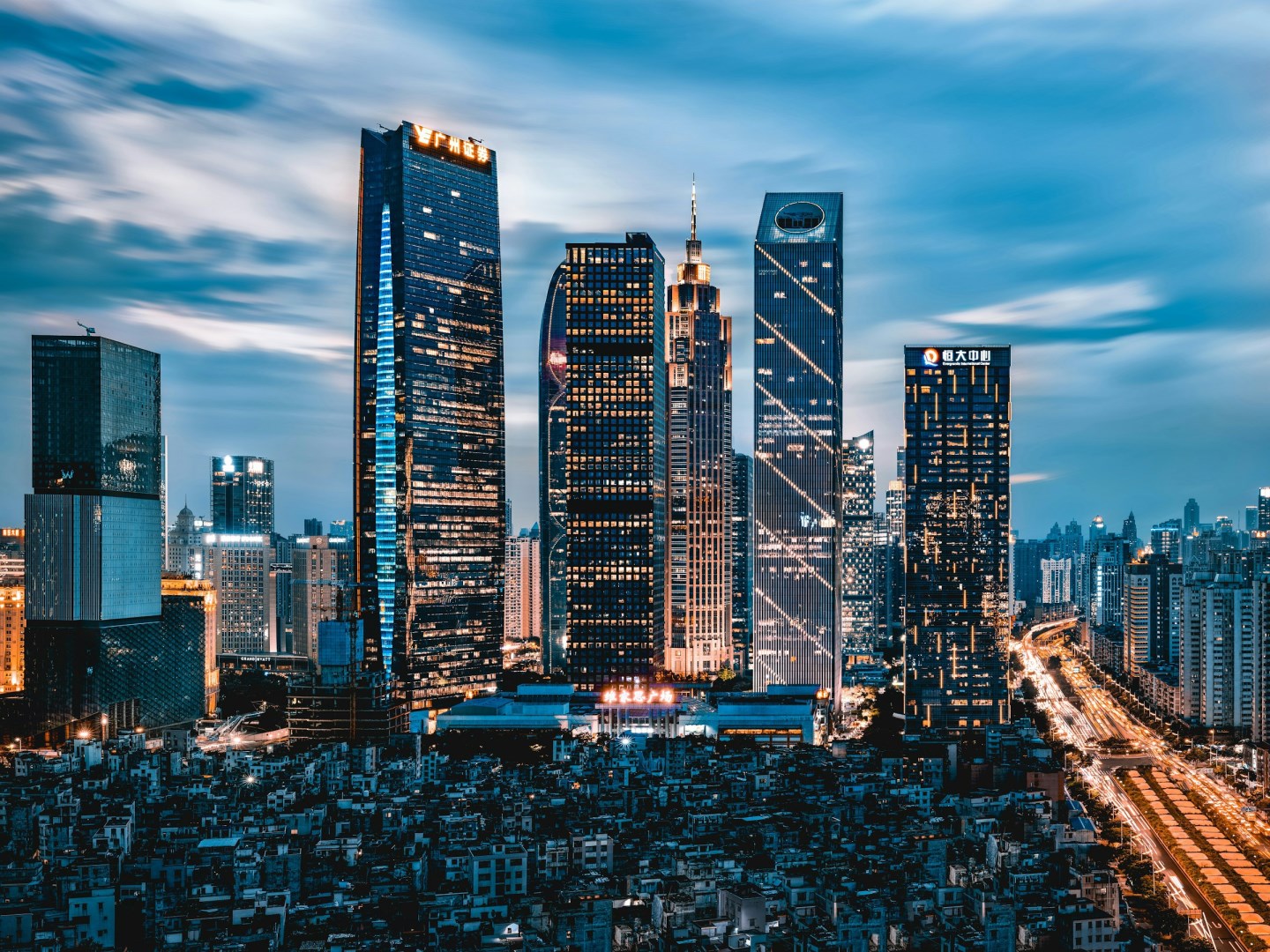
Guangzhou
Also known as Canton, it is located adjacent to Hong Kong, an important industrial and trade center in South China.
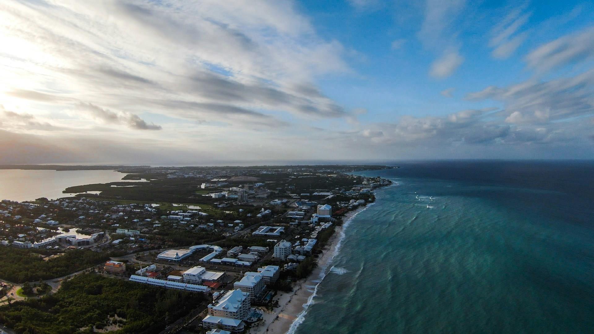
Grand Cayman
Grand Cayman, the largest of the Cayman Islands, is a Caribbean paradise offering stunning beaches, world-class diving, and a rich blend of culture and luxury. Seven Mile Beach, often ranked as one of the most beautiful beaches in the world, is the island’s crown jewel. Its powdery white sands and crystal-clear waters are perfect for swimming, snorkeling, or simply relaxing under the sun. Luxury resorts and beachfront restaurants dot the coastline, providing both indulgence and accessibility to

Palmeira
On the north-western coast of Sal Island in Cape Verde sits Palmeira, an authentic fishing settlement where day-to-day life still revolves around the sea. The village’s seaside restaurants serve grilled tuna, octopus, and flying fish fresh from the day’s catch. Just a short trip from the centre lies Buracona, a natural lava rock pool famous for the “Blue Eye,” a glowing underwater cave that shines when the sunlight hits at just the right angle.