Jurmala
Jūrmala, Latvia’s famed seaside resort, stretches along 33 kilometers of white sandy beaches kissed by the Baltic Sea. Its wooden architecture, featuring colorful villas from the early 20th century, tells the story of its history as a retreat for the well-to-do during the Russian Empire. Visitors strolling the Jomas Street promenade will find a lively atmosphere filled with cafes, boutiques, and galleries, alongside peaceful spots where the sea breeze encourages relaxation.

Denmark
Denmark is a country shaped by water, wind, and centuries of human ingenuity. In places like Roskilde, visitors can see five original Viking ships at the Viking Ship Museum and even try rowing a replica longboat across the fjord. In Copenhagen, the harbor once used by merchants and sailors now welcomes swimmers, kayakers, and ferries, with historic warehouses repurposed into restaurants and museums.
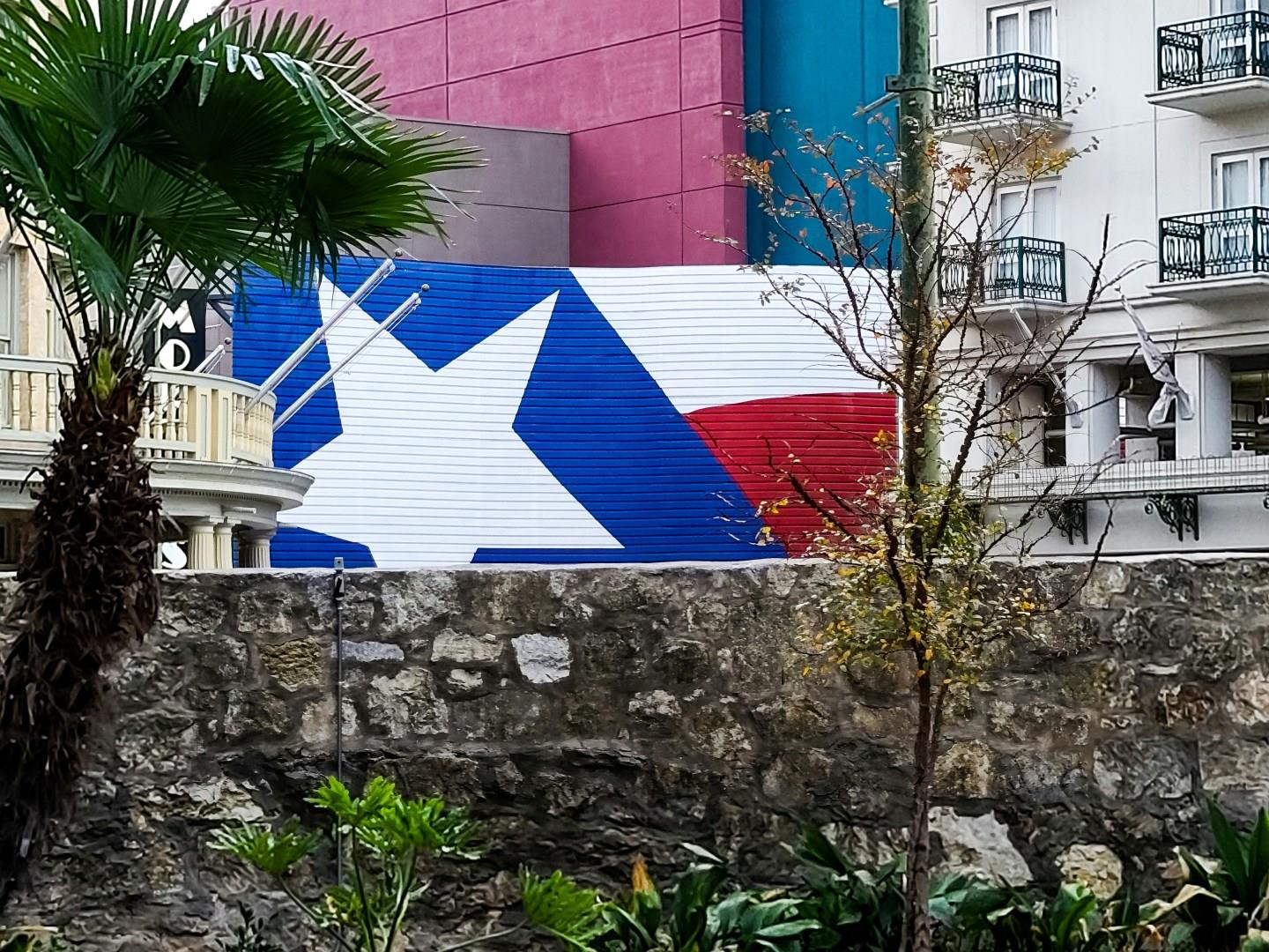
San Antonio
San Antonio is a city where centuries-old missions, lively markets, and a strong sense of place come together in unexpected ways. At the heart of it all is the Alamo, the former Spanish mission that became a symbol of Texas independence after the pivotal 1836 battle. Beyond its landmarks, San Antonio thrives through its neighborhoods. The River Walk weaves through downtown, lined with restaurants, shops, and galleries.

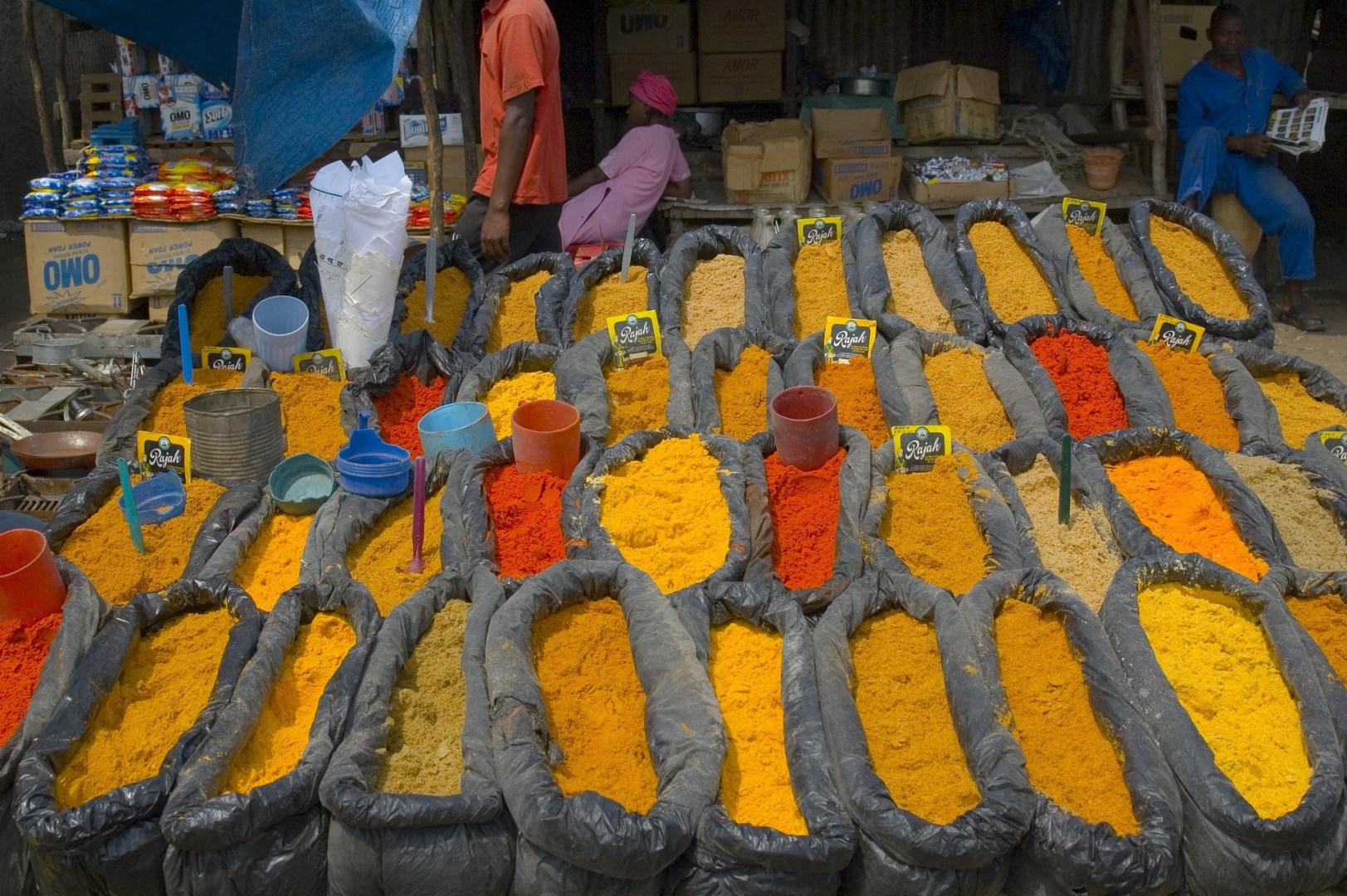
Pointe-á-Pitre
Guadeloupe's major center is Pointe-à-Pitre, a conglomeration of old and new buildings clustered around the bustling harborside market. Pointe-a-Pitre is Gudeloupe's most popular city--explore the beaches of Grand-Terre and the French fort ruins and volcanic mountaintop of Basse-Terre.

Iguazu
Situated in the Parque Nacional Iguazú near Puerto Iguazú, these spectacular falls lie just east of the confluence of the Iguazu and Paraná rivers. At least 5000 cubic m of water per second plunge the 70m into the abyss below.