Oaxaca
Oaxaca, nestled in the heart of southern Mexico, is a city where ancient traditions and vibrant culture thrive. Renowned for its rich history and indigenous heritage, Oaxaca offers a unique blend of pre-Columbian, colonial, and modern influences. The city's historic center, a UNESCO World Heritage site, is a testament to its past, featuring stunning colonial architecture such as the Santo Domingo de Guzmán Church, a masterpiece of Baroque art.

Kotor
This coastal town in Montenegro is part of the World Heritage Site dubbed the Natural and Culturo-Historical Region of Kotor. It holds several summer events, such as the Summer Carnival or Bokeljska Noc. One of the most notable and charming aspects of the town is the large population of cats that have become a symbol of the city.

Maasai Mara National Reserve
One of Africa's most popular game reserves, Maasai Mara is located in Narok, Kenya, near the border of Tanzania. Named in honor of the Maasai people, this park is populated with wildlife including elephants, lions, zebras, and leopards.
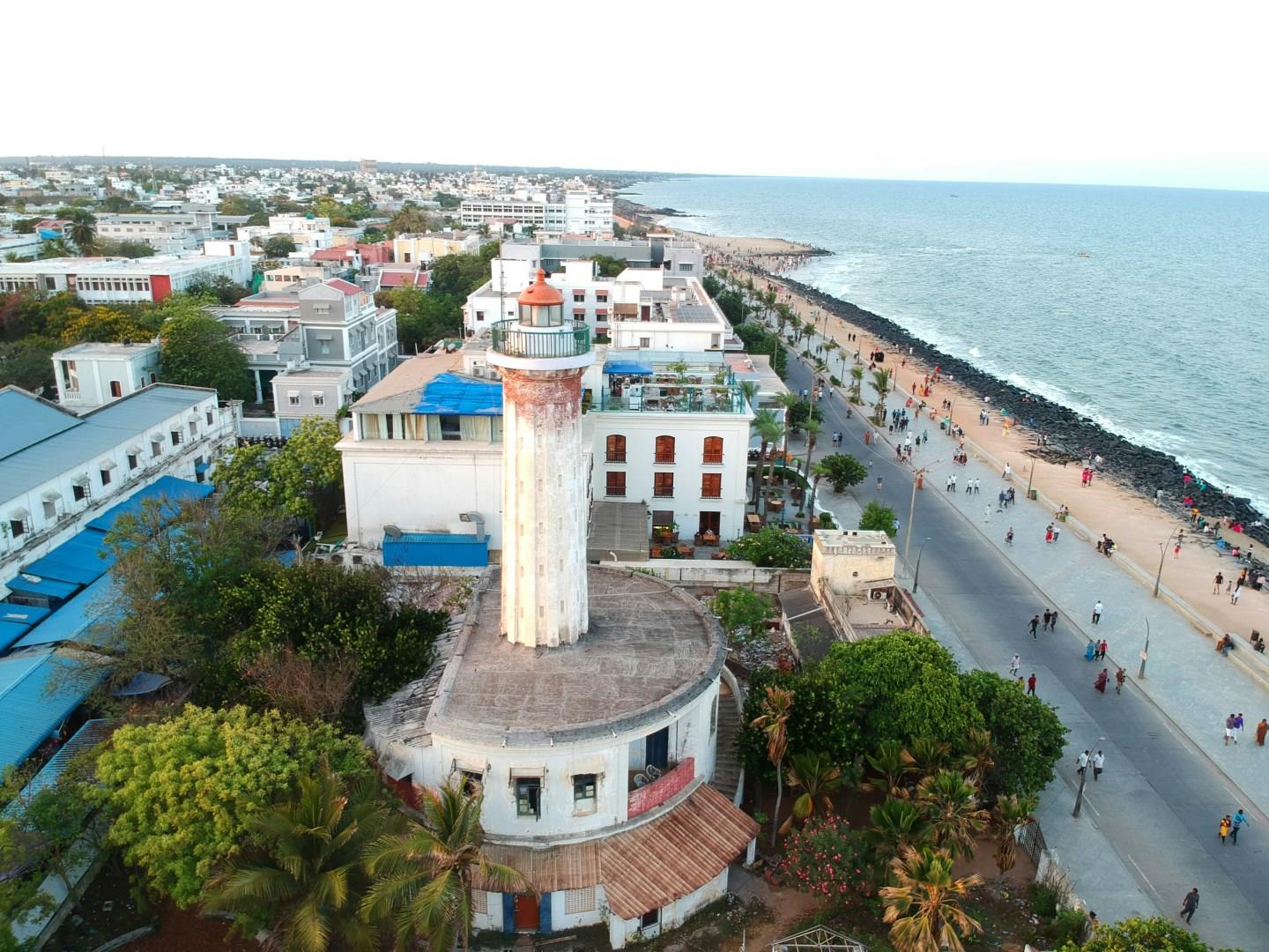
Pondicherry
Pondicherry is a coastal town in southern India that still carries traces of its French colonial past. The French Quarter, or White Town, is filled with mustard-yellow buildings, iron-laced balconies, and streets with French names. Visitors can explore this area on foot or by bicycle, stopping at spots like the 18th-century Eglise de Notre Dame des Anges, built in Greco-Roman style, or the French Consulate, which continues to operate from a colonial-era building.
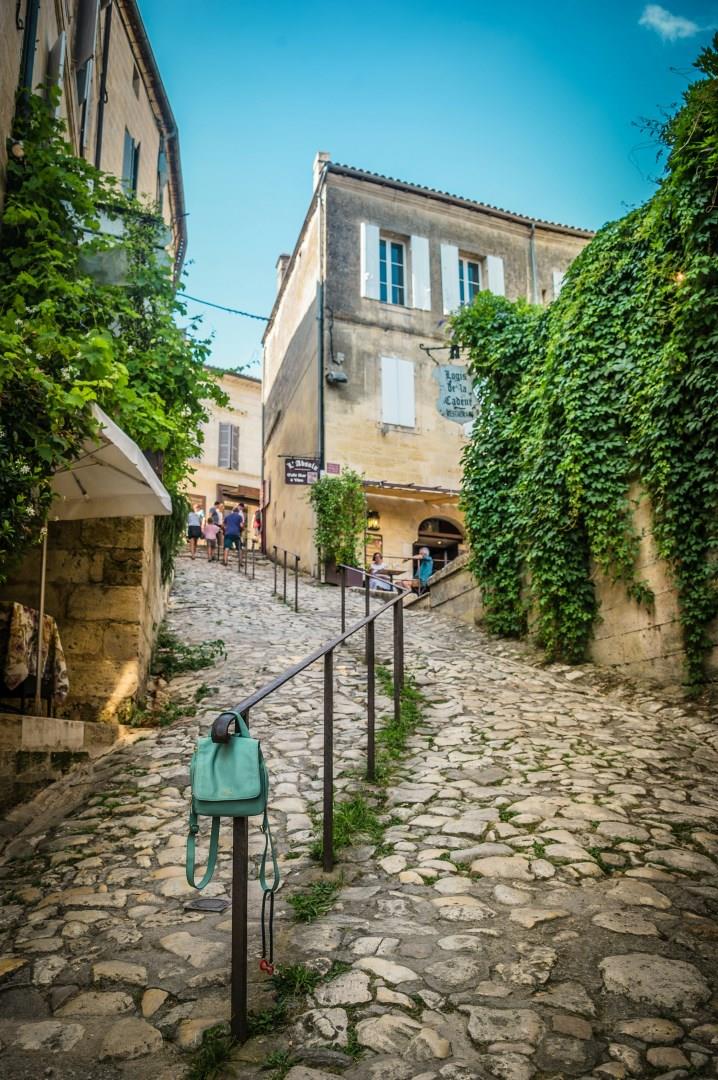
Saint-Émilion
Saint-Émilion, nestled in the heart of southwest France, is a living monument to centuries of craftsmanship, faith, and wine-making. Recognized as a UNESCO World Heritage Site since 1999, this medieval town sits on a limestone plateau surrounded by vineyards that date back to Roman times. Visitors can explore cobbled streets that wind past centuries-old stone houses, descend into underground catacombs carved by monks, and visit the astonishing Monolithic Church.