

Ravello
Nestled high on the cliffs of Italy’s Amalfi Coast, Ravello is a gem of medieval charm and stunning vistas. This picturesque town is renowned for its breathtaking views of the Tyrrhenian Sea and its lush gardens, such as the famed Villa Cimbrone.

Split
Split, Croatia, is a city where ancient history and modern vibrancy blend seamlessly, creating an alluring destination for travelers. At the heart of Split is the UNESCO World Heritage Site of Diocletian's Palace, a remarkably well-preserved Roman complex built by Emperor Diocletian in the 4th century AD. This sprawling palace complex, with its labyrinthine streets, ancient walls, and grand Peristyle courtyard, is not just a historical site but a bustling part of the city’s daily life.
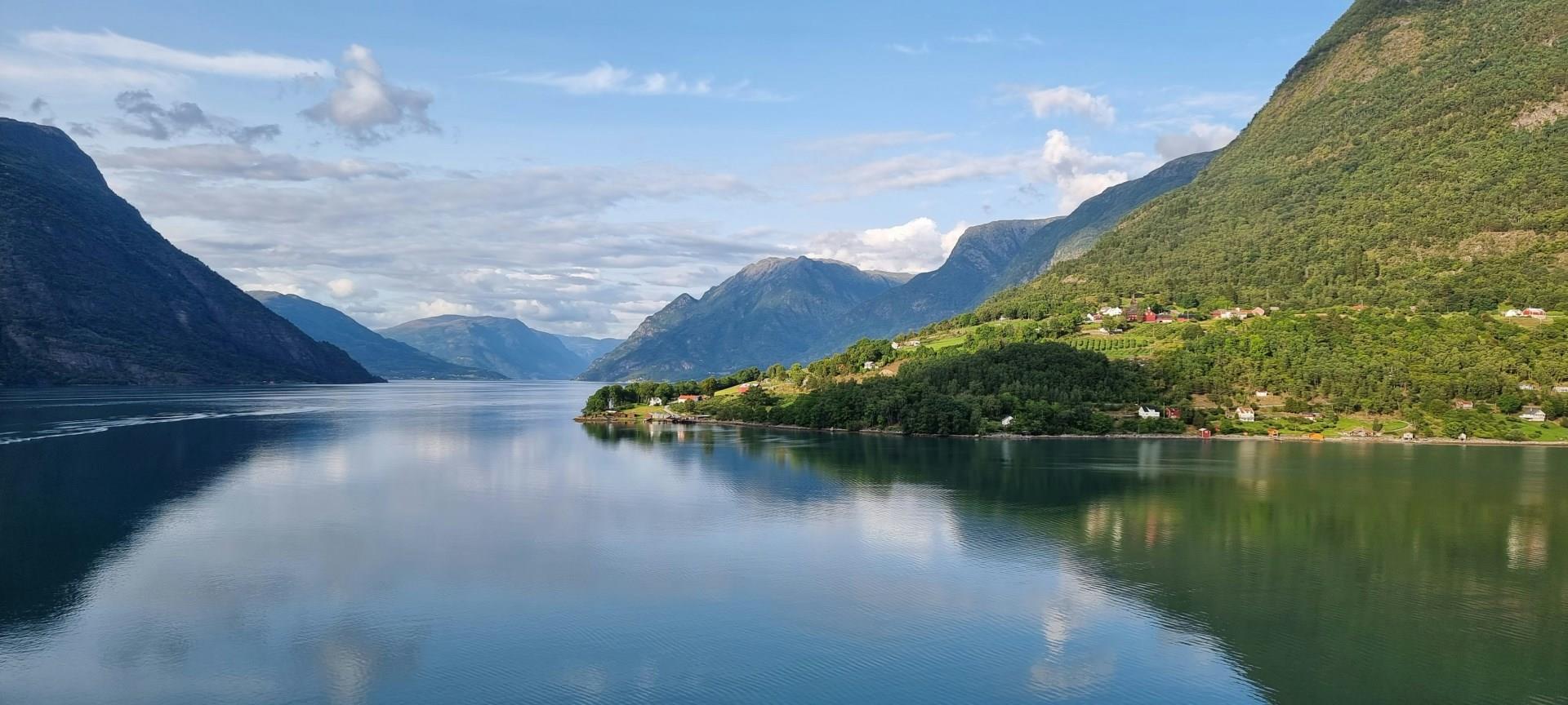
Skjolden
With its dramatic fjord setting, access to hiking trails, and cultural significance, Skjolden is a destination that showcases Norway’s wild beauty. Whether embarking on an outdoor adventure or simply enjoying the beautiful landscapes, visitors will find plenty to experience.

San Juan
From spectacular beaches, to impressive monuments, to electrifying nightlife, San Juan, Puerto Rico is bursting with historical and cultural attractions that are sure to inspire and exhilarate.

Saint Augustine
Saint Augustine, Florida, is a charming tapestry of history and coastal beauty. As the oldest continuously inhabited European-established settlement in the continental United States, this historic city offers a fascinating glimpse into early American life. Founded by Spanish explorers in 1565, Saint Augustine boasts an array of colonial architecture and historic landmarks.


