

Medellin
Nestled in the Aburrá Valley and surrounded by the Andes mountains, Medellín offers a stunning backdrop for visitors and boasts a pleasant climate year-round, earning it the nickname "City of Eternal Spring."

Cusco
Cusco is the South America's oldest continuously inhabited city, the gateway to Machu Picchu and once was the capital of the Inca Empire. Make sure you get to Plaza de Armas, the main square and center of the city. Walk through the nearby San Pedro Market to find a special gift for loved ones (or yourself!) or view the Sun Temple Coricancha.
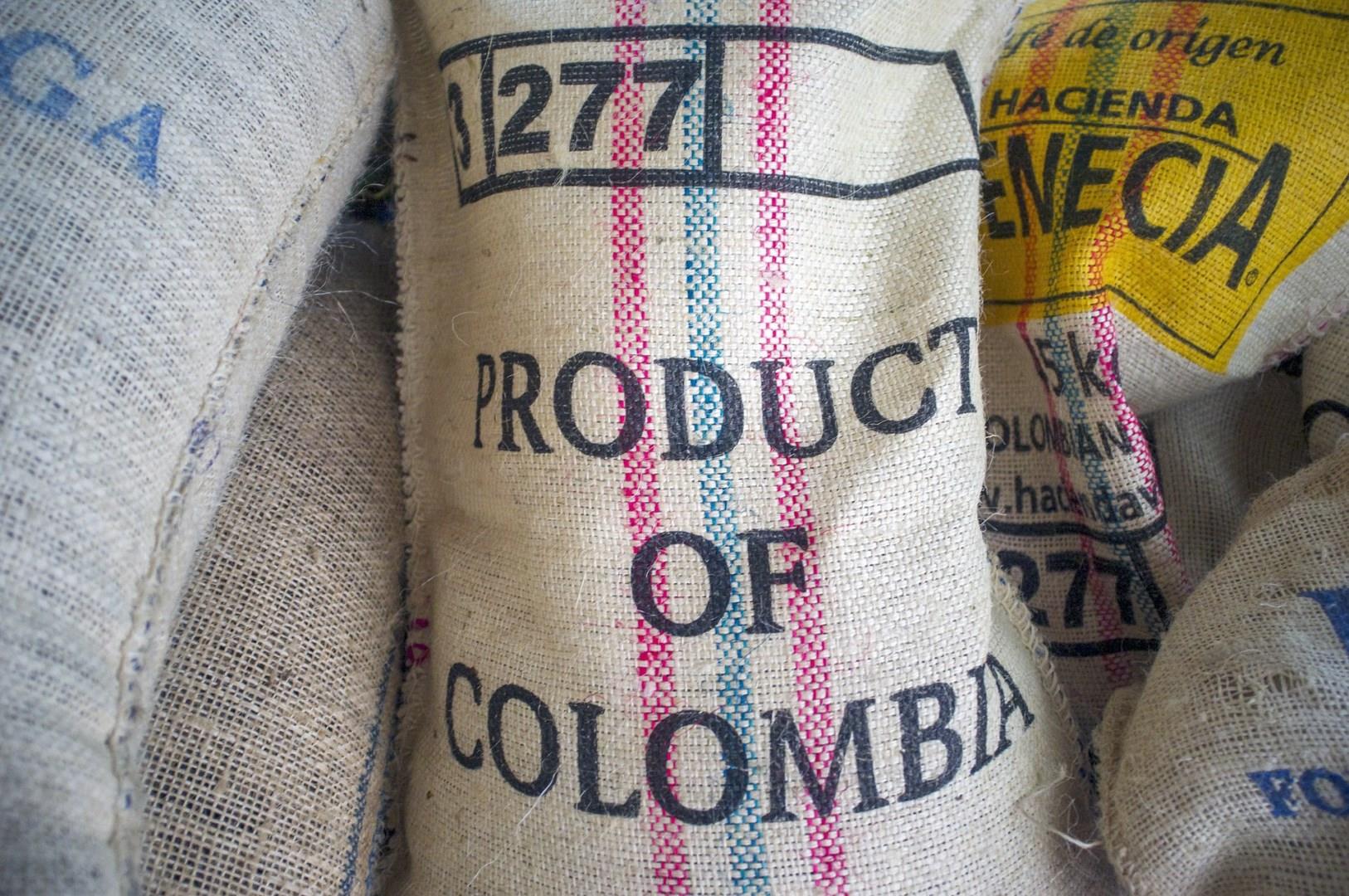
Colombia
Colombia, a country where the Andes meet the Amazon, and vibrant cities lie amidst lush rainforests, is a destination that captivates travelers with its rich culture, history, and natural beauty. From the bustling streets of Bogotá to the colorful, colonial architecture of Cartagena and the coffee-scented mountains of the Coffee Triangle, Colombia offers diverse experiences for every type of visitor.

Mississippi
Mississippi, a state rich in history and culture, offers a unique blend of Southern charm and historic significance. For those drawn to natural beauty, Mississippi's landscape is a tapestry of rolling hills, dense forests, and scenic rivers.


