

Paros
Whether you’re drawn to its beaches, rich history, or welcoming atmosphere, Paros has something for everyone. It’s a destination where you can unwind under the Mediterranean sun, explore traditions, and savor the flavors of Greece.

Virgin Gorda
Part of the British Virgin Islands, Virgin Gorda is an island in the Caribbean famous for The Baths National Park, whose natural geologic granite formations dot the island's beaches and create stunning tidal pools and grottoes.
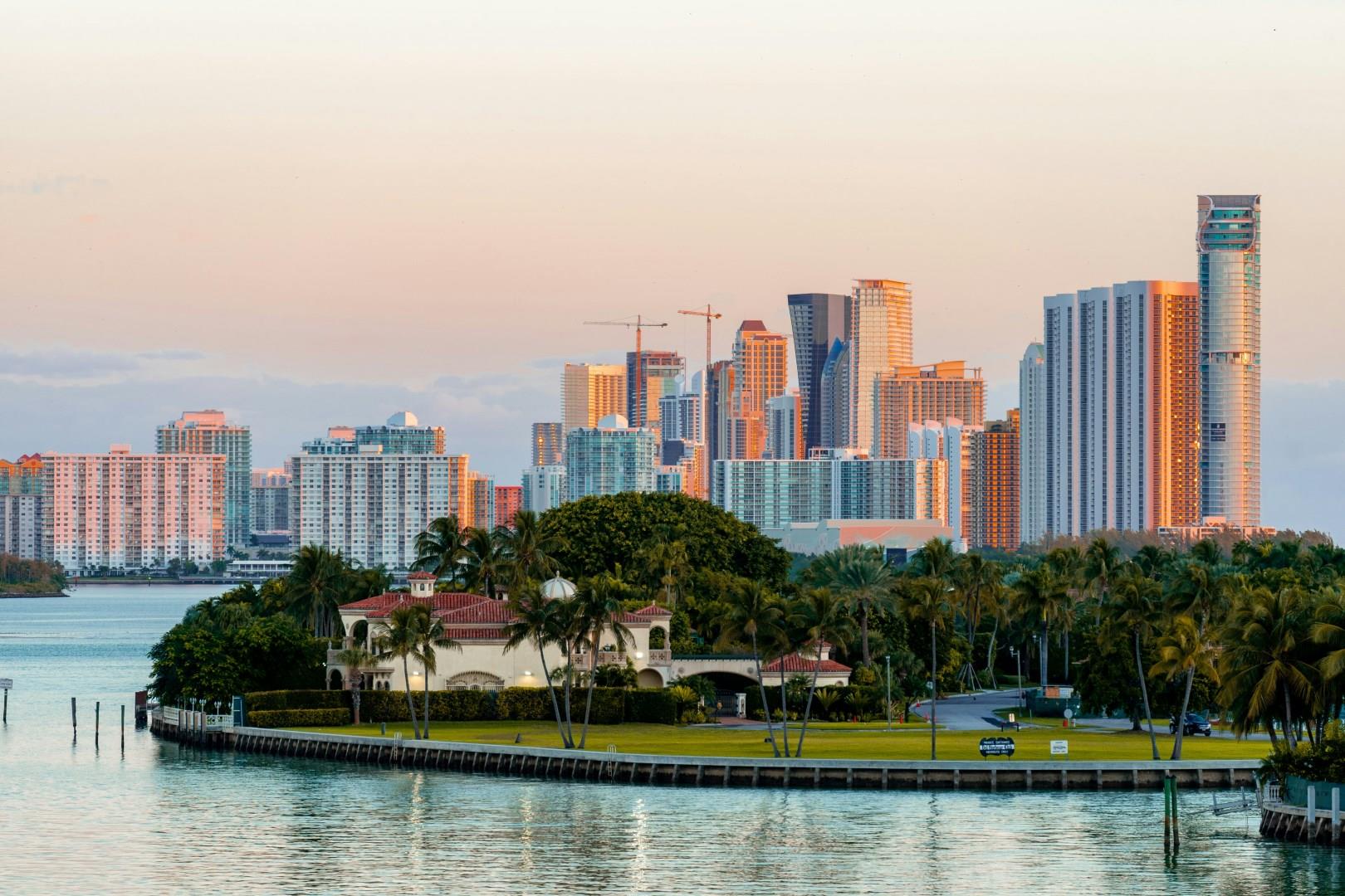
Bal Harbour
Bal Harbour is an exclusive seaside village located on Florida’s northeastern coast, just north of Miami Beach. Known for its luxury lifestyle, pristine beaches, and upscale shopping, Bal Harbour blends serene coastal living with high-end sophistication.

Schwangau
Perched high on a rugged hill, Neuschwanstein offers breathtaking views of the surrounding landscape, including the shimmering Alpsee and the dense forests that cloak the region. A visit to Schwangau isn't complete without exploring this iconic landmark, where the opulence of King Ludwig II's vision comes to life in every ornate detail.

Napa Valley
Napa Valley, California, is synonymous with world-class wine, offering a refined yet welcoming escape to one of the most renowned wine regions on the planet. Nestled between the Mayacamas Mountains and Vaca Range, Napa Valley boasts over 400 wineries. Tourists flock to this bucolic haven to experience wine tastings, vineyard tours, and cellar explorations. But Napa is more than just a destination for wine lovers; it's a gateway to California's finest culinary offerings.


