

Zákynthos
Zakynthos, also known as Zante, is a Greek island that captivates visitors with its stunning natural beauty and rich cultural heritage. Renowned for its breathtaking beaches, the island's most famous attraction is Navagio Beach, also known as Shipwreck Beach. This picturesque cove, accessible only by boat, features an iconic shipwreck lying on powdery white sand surrounded by dramatic limestone cliffs and crystal-clear turquoise waters.

Kuşadası
This bustling holiday resort is a major cruise ship destination and a jumping-off point for visiting the ruins at nearby Ephesus. The beaches of Kusadasi a beautiful, welcoming and perfect for all ages!

Monkey Mia
Monkey Mia, located within the Shark Bay World Heritage Area on the western coast of Australia, is a serene paradise known for its world-famous wild dolphin encounters. This remote coastal gem, surrounded by the turquoise waters of the Indian Ocean, invites visitors to experience up-close interactions with bottlenose dolphins in their natural habitat. For over 50 years, these dolphins have made daily visits to Monkey Mia’s shores, creating a unique tradition that brings awe to travelers.

Rotorua
Natural wonders await you in the steaming, geothermally active North Island city of Rotorua, New Zealand. Pohutu Geyser erupts several times per day, and blistering mud pools provide a truly unique sightseeing experience. When in Rotorua, tourists also visit its living Maori village, as well as Te Puia (New Zealand Maori Arts and Crafts institute), where weaving and woodcarving is featured.
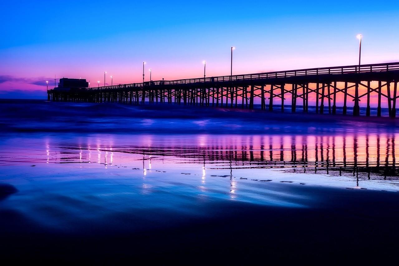
Newport Beach
Newport Beach, California, offers the quintessential Southern California experience, with its golden beaches, luxurious homes, and a laid-back yet upscale vibe. Nestled along the Orange County coastline, this sun-soaked destination is famous for its pristine beaches, including the iconic Newport Beach Pier, where visitors can enjoy surfing, sunbathing, or simply soaking in panoramic ocean views.


