

Kings Wharf
King's Wharf is the largest and most active port in Bermuda, with a high volume of cruise ship and ferry traffic. Shopping, restaurants and museums are close by.

Tibet
Tibet, often referred to as the "Roof of the World," is a land of breathtaking beauty, spiritual depth, and rich cultural heritage. Set against the backdrop of the towering Himalayas, Tibet captivates travelers with its dramatic landscapes, from vast high-altitude deserts to verdant valleys and serene lakes.
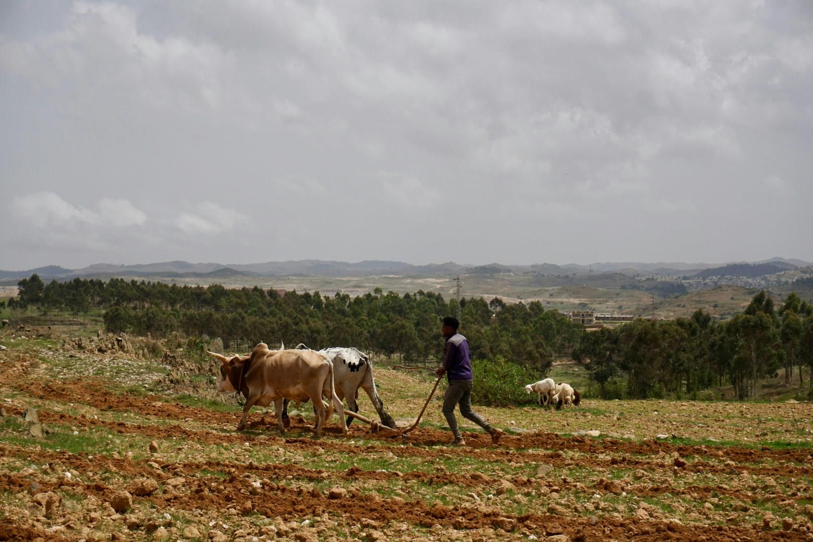
Asmara
Asmara, the capital of Eritrea, is a city where time seems to have paused in the mid-20th century. Known for its remarkably preserved Italian modernist architecture, the city has earned recognition as a UNESCO World Heritage Site.

Tan Chau
Tan Chau, located in the Mekong Delta region of Vietnam, is most well-known for its exclusive silk production, using local materials such as dyes made from the mac nua (Diospyros mollis) fruit.
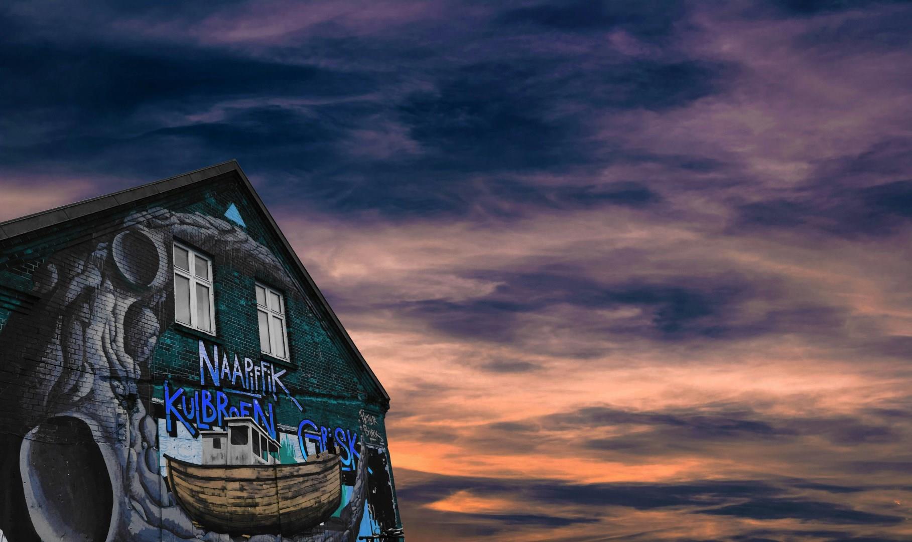
Aarhus
Aarhus, Denmark's second-largest city, offers a captivating blend of historical charm and modern vibrancy. Founded in the 8th century, Aarhus boasts a rich history that visitors can explore at the Old Town Museum, an open-air museum that recreates Danish life through the ages with its historical buildings and interactive exhibits. The city's medieval roots are also visible in the well-preserved Aarhus Cathedral.


