Congaree National Park
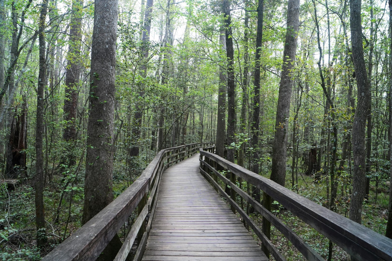
Imagine standing in complete stillness as thousands of tiny lights blink in perfect harmony around you. Every spring in Congaree National Park, this bioluminescent ballet plays out under the forest canopy. This is nature’s very own light show, and it lasts only two magical weeks. Time your visit right, and you’ll be part of a glowing experience few ever witness.

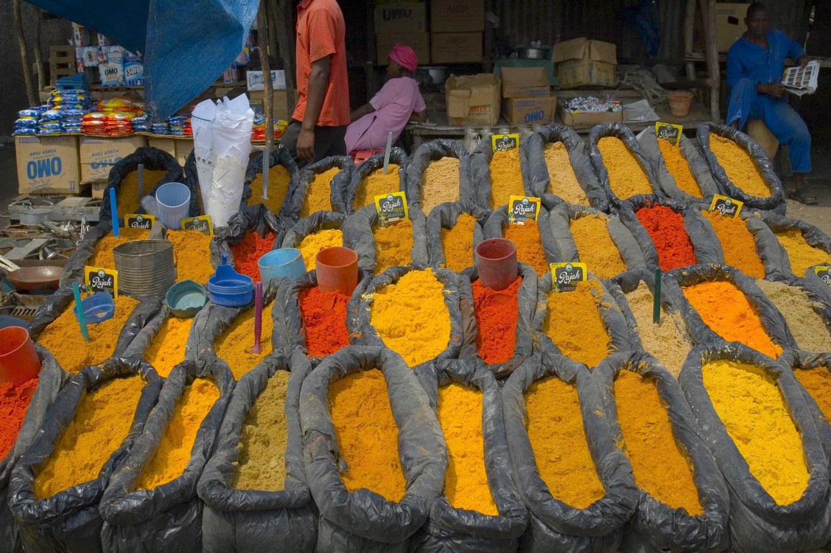
Kochi
Kochi (formerly Cochin), is a port city on the southwest coast of India and is a frequent stop for cruise ships. Known as the "Gateway to Kerala," Kochi's beaches, delectable seafood, expansive malls, historical sites, and museums make it a popular tourist destination.
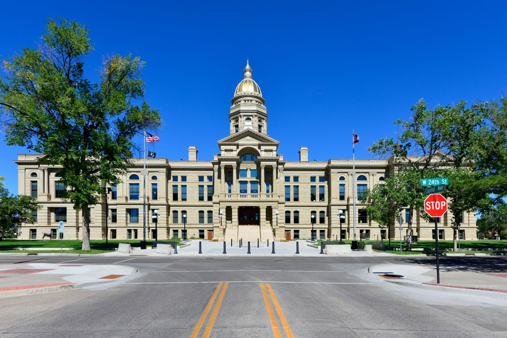
Cheyenne
Incorporated in 1867, it is the capital of the state of Wyoming. Gold mining has been a major industry here.
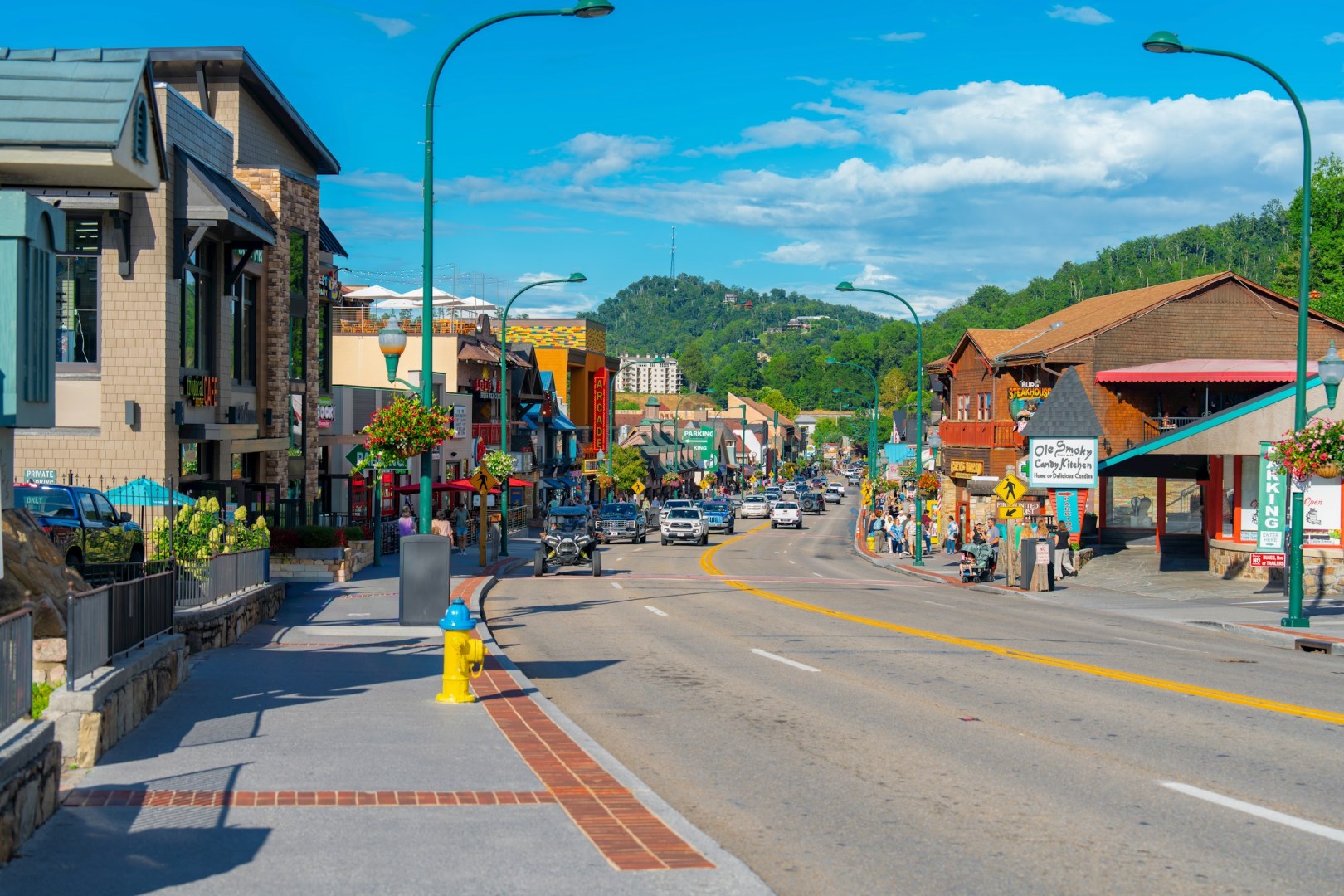
Gatlinburg
Plan to spend at least a full day in downtown Gatlinburg exploring the hundreds of gift and craft shops, and dozens of family entertainment attractions such as the "Sweet Fanny Adams" Theater and Elwood Smooch's Hillbilly Hoedown. For a totally different experience, ride the world's larges tramway to Ober Gatlinburg featuring year round skking, ice skating, and ski lift rides...

Nanortalik
Nanortalik is a destination that combines pristine natural beauty, thrilling outdoor activities, and authentic cultural experiences. Whether climbing rugged peaks, kayaking through fjords, or simply immersing oneself in the town’s serene atmosphere, Nanortalik provides a unique glimpse into Greenland’s awe-inspiring Arctic world.