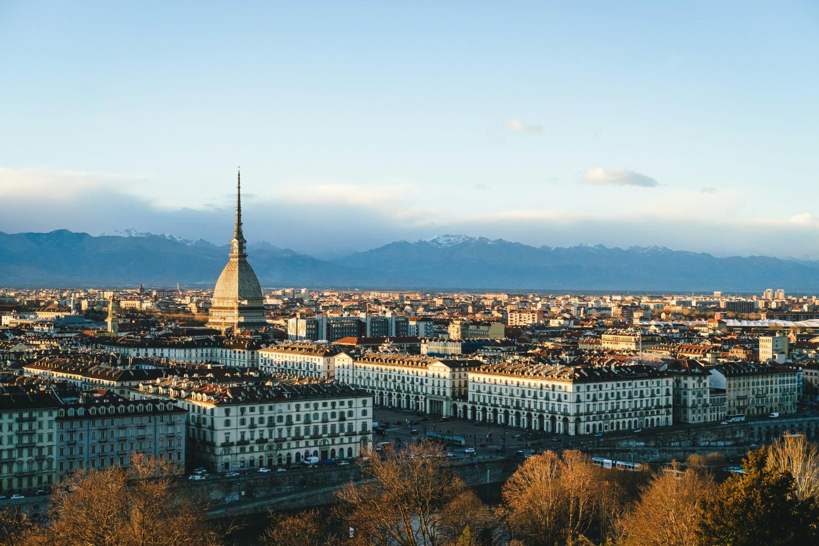
Turin
Turin carries a regal atmosphere reflected in its palaces, wide boulevards, and arcaded streets. Its history as a political and cultural powerhouse is still evident today, while its role as the birthplace of Fiat underscores its influence on modern industry.
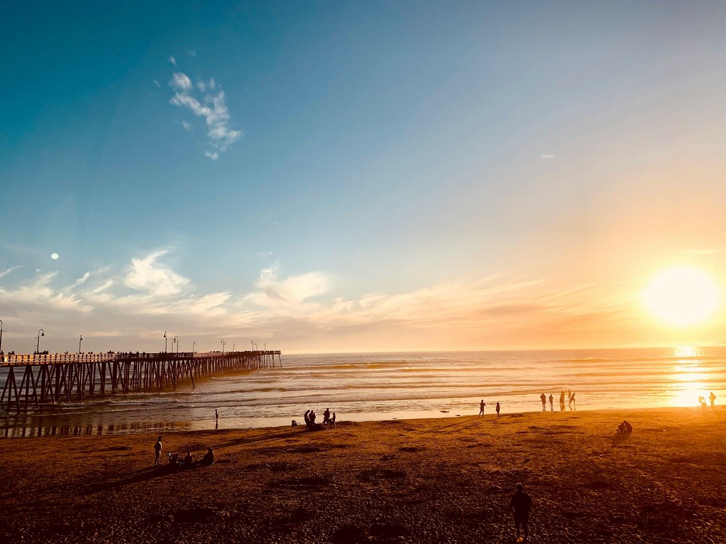
Pismo Beach
Abundant treasures for vacation enjoyment await visitors of all ages in the picturesque central California beachside community of Pismo Beach. Whether you enjoy a romantic walk along the beach, a challenging ride on a all-terrain vehicle through the sand dunes, sporting activities which suit enthusiasts of all levels or just plain fun, Pismo Beach has it all. Located midway between San Francisco and Los Angeles, Pismo Beach is in the center of some of the state's most beautiful coastline.
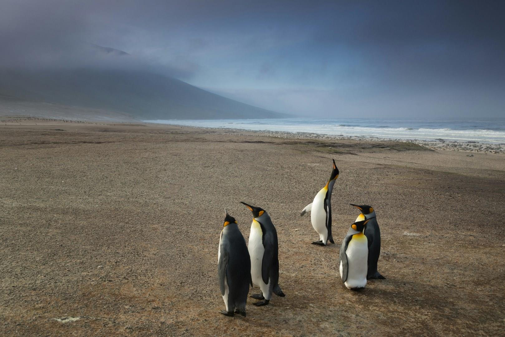
Falkland Islands
The Falkland Islands, a remote archipelago in the South Atlantic, offer a striking combination of wild open spaces, rich wildlife, and a way of life shaped by wind, sea, and resilience. With fewer than 3,500 residents spread across over 700 islands, the Falklands provide a rare opportunity to disconnect from busy modern life and connect with wide skies, rugged coastlines, and some of the most accessible wildlife experiences on the planet.

Sofia
Sofia, Bulgaria’s capital, is a city where the past meets the present in a symphony of ancient history, stunning architecture, and vibrant urban life. At the heart of Sofia lies the Alexander Nevsky Cathedral, one of the largest Eastern Orthodox cathedrals in the world. With its golden domes and elaborate frescoes, this architectural marvel serves as a symbol of Bulgarian identity and a must-see attraction.

Madeira
Madeira, an archipelago off the coast of Portugal, is often referred to as the “Island of Eternal Spring” due to its mild climate and lush landscapes. Funchal, its vibrant capital, is a perfect blend of natural beauty and rich history. Visitors can explore the cobblestone streets of the old town, marvel at the Gothic-style Sé Cathedral, and stroll through the colorful Mercado dos Lavradores, where local farmers sell fresh produce, exotic flowers, and the island’s famous wine.