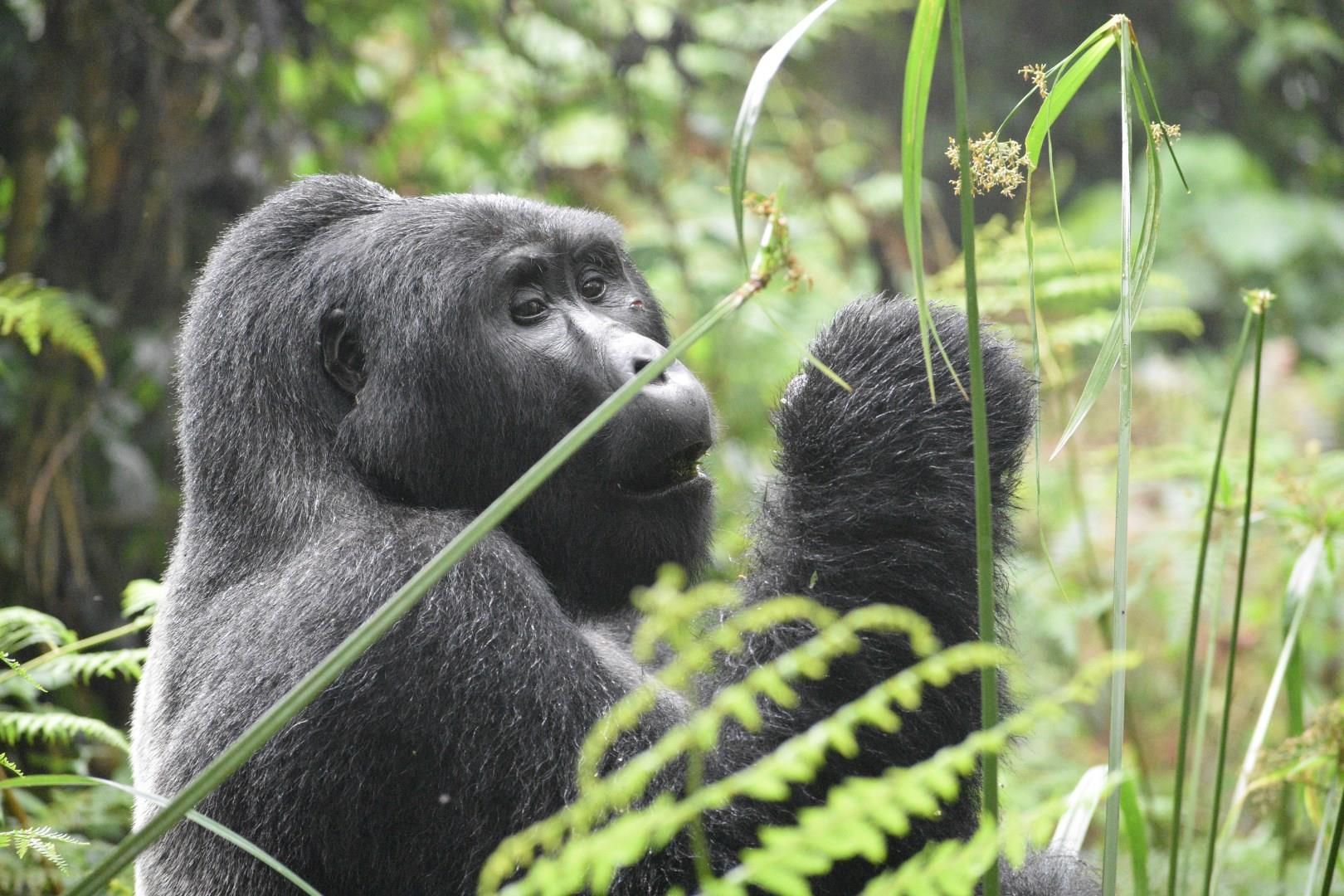
Volcanoes National Park
Volcanoes National Park, in northwestern Rwanda, is a place where dramatic volcanic landscapes meet extraordinary wildlife encounters. Stretching across the Virunga Mountains, the park is dominated by five towering volcanoes whose slopes are cloaked in rainforest and bamboo.
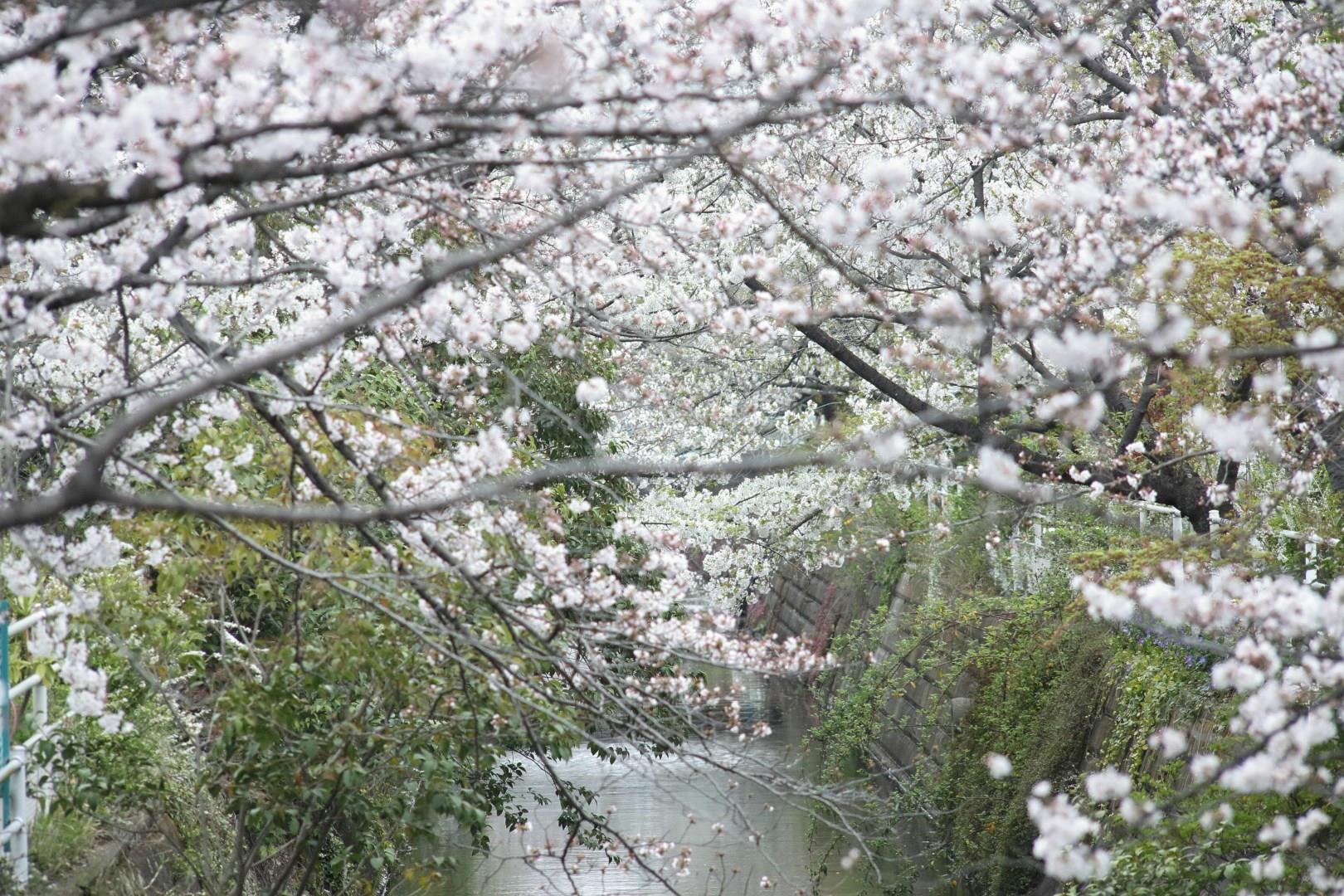
Chiba
Chiba, located just east of Tokyo, is a dynamic prefecture that blends modern attractions with serene coastal and rural landscapes. Known for its role as the gateway to Japan’s capital, home to Narita International Airport, Chiba also stands on its own as a destination rich in culture, history, and nature.

Sapporo
Sapporo, (säp-pô´rô), capital of Hokkaido prefecture, SW Hokkaido, Japan. One of Japan's most rapidly growing urban centers, Sapporo is famous for its annual snow festival. It was the site of the 1972 winter Olympics.

Yosemite National Park
Yosemite National Park, nestled in California's Sierra Nevada mountains, is a stunning sanctuary of natural beauty and grandeur. Known for its dramatic granite cliffs, ancient giant sequoias, and cascading waterfalls, Yosemite is a paradise for outdoor enthusiasts and nature lovers alike.
Jurmala
Jūrmala, Latvia’s famed seaside resort, stretches along 33 kilometers of white sandy beaches kissed by the Baltic Sea. Its wooden architecture, featuring colorful villas from the early 20th century, tells the story of its history as a retreat for the well-to-do during the Russian Empire. Visitors strolling the Jomas Street promenade will find a lively atmosphere filled with cafes, boutiques, and galleries, alongside peaceful spots where the sea breeze encourages relaxation.