Brussels
Brussels, the vibrant capital of Belgium, offers a perfect blend of medieval charm and modern sophistication. At its heart lies the iconic Grand Place, a UNESCO World Heritage Site known for its stunning Gothic and Baroque guildhalls.

Khao Lak
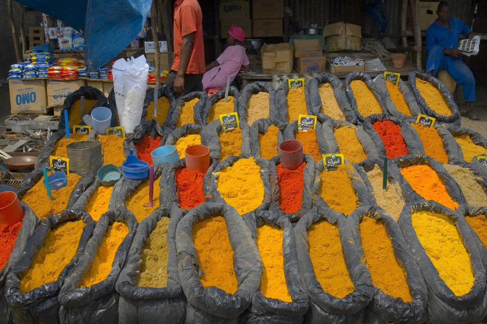
Khao Lak rests quietly along Thailand’s Andaman coastline, about an hour north of Phuket, yet it feels worlds apart. This stretch of shoreline runs for miles, with wide sandy beaches that often seem almost untouched. The name itself comes from the nearby mountain that rises behind the coast, giving the area a dramatic backdrop where forest meets sea.
Indiana
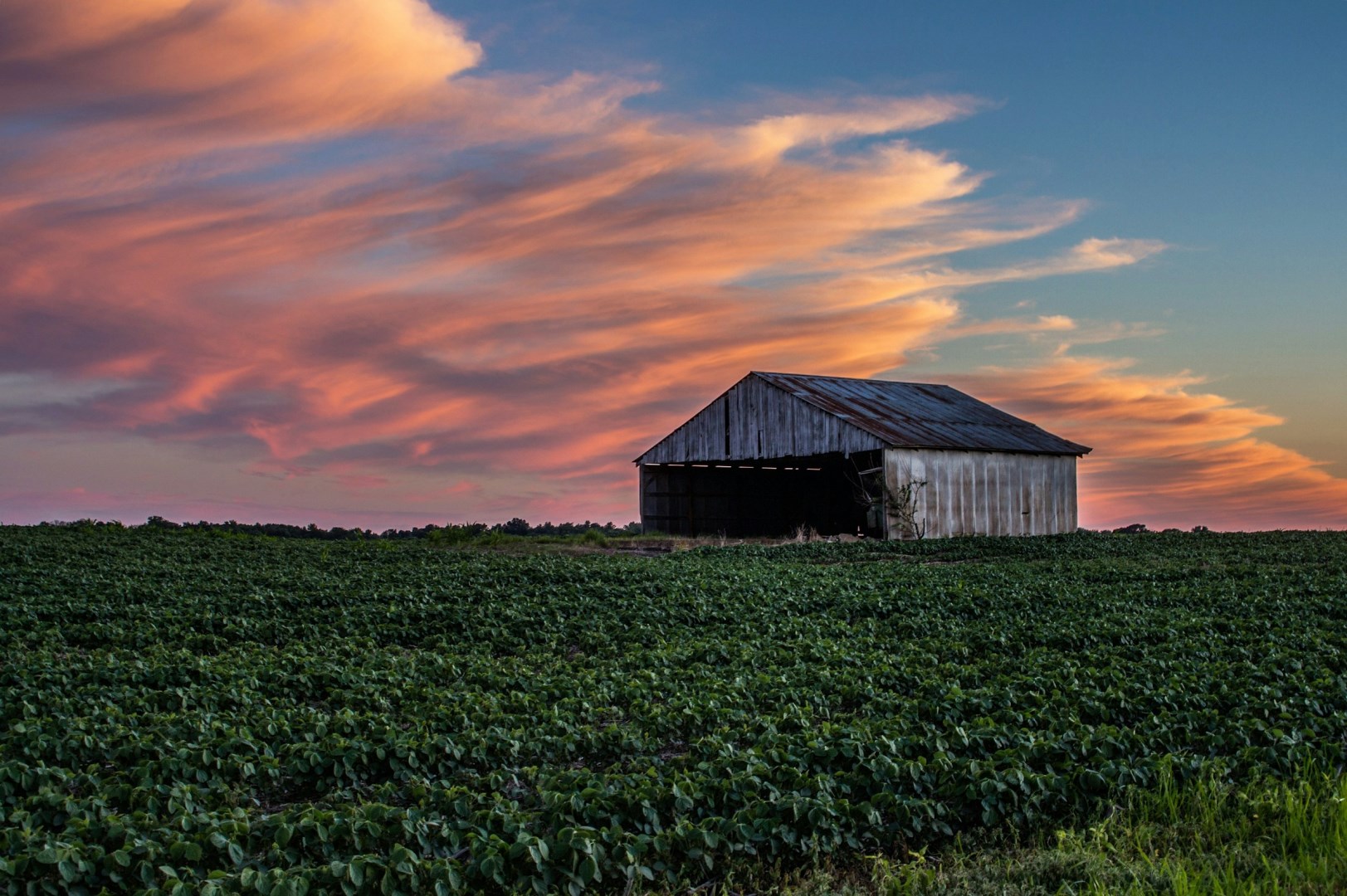
Indiana offers a surprising range of experiences for travelers who take the time to explore it. From vibrant cities to quiet countryside, the state blends deep Midwestern roots with its own brand of charm. In Indianapolis, the state's capital and largest city, visitors can tour the Indianapolis Motor Speedway or stroll through the Indianapolis Cultural Trail, which links neighborhoods, museums, and public art installations.

Kenai
Kenai, Alaska, is a captivating destination for those seeking an authentic Alaskan experience. Situated on the Kenai Peninsula, this charming town offers stunning views of Cook Inlet and the surrounding mountains. Visitors can explore the Kenai National Wildlife Refuge, renowned for its diverse wildlife and breathtaking landscapes. Fishing enthusiasts flock to the Kenai River, which is famous for its world-class salmon runs.
Lille
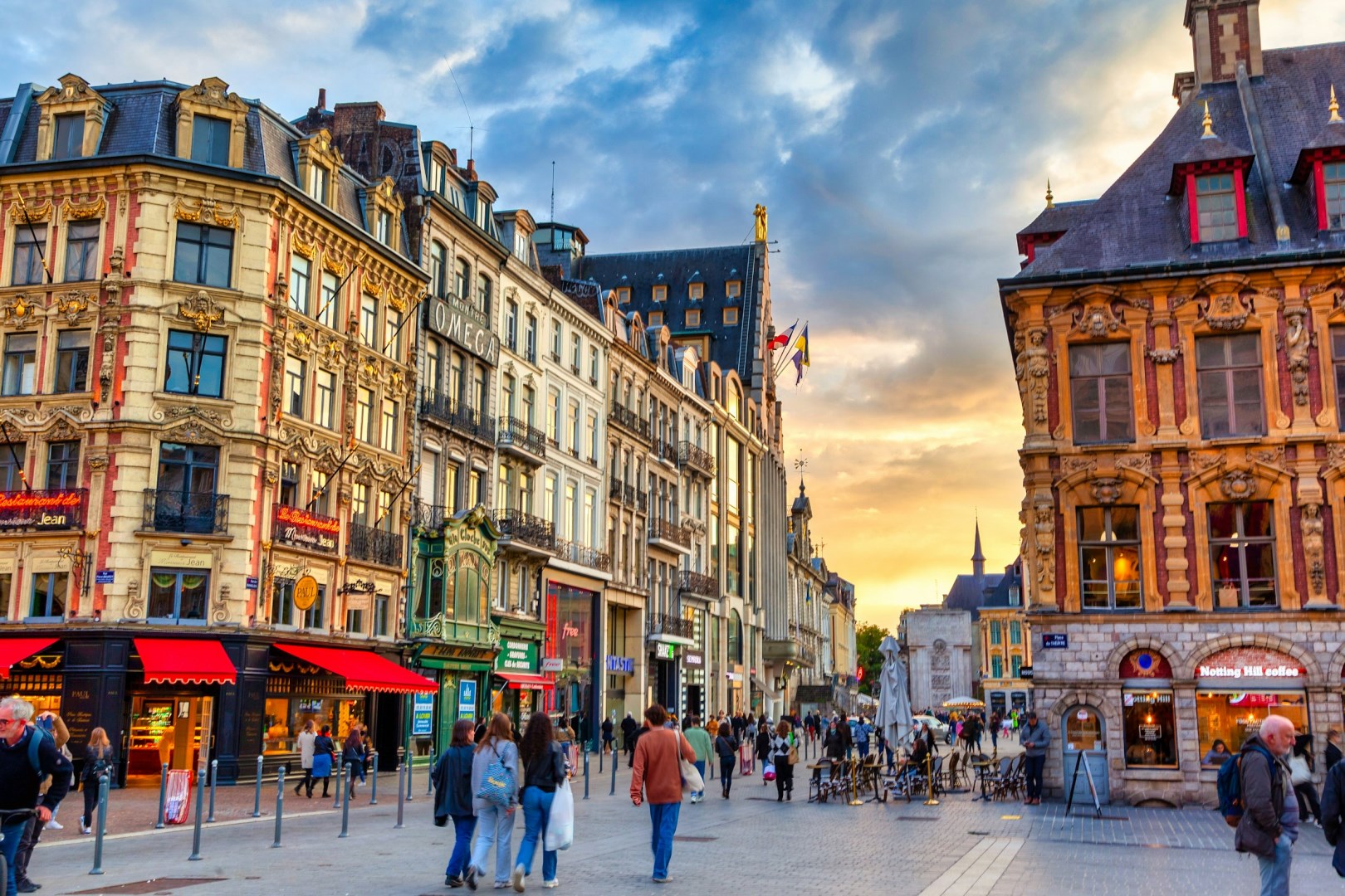
Lille, the lively capital of France’s Hauts-de-France region, is a city where Flemish charm meets French sophistication. Once an important industrial hub, Lille has reinvented itself as a cultural and artistic center without losing its historic character.