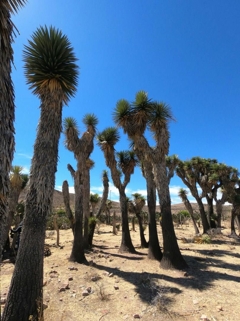
Zacatecas
Zacatecas, built into the slopes of a narrow ravine in north-central Mexico, is a city with a deep mining past and a striking skyline. The historic center, a UNESCO World Heritage Site, is known for its pink cantera stone buildings, narrow alleys, and impressive baroque facades. The Cathedral Basilica of Zacatecas, completed in 1752, stands as one of the most detailed examples of Mexican baroque architecture, with hundreds of carved figures covering its sandstone exterior.
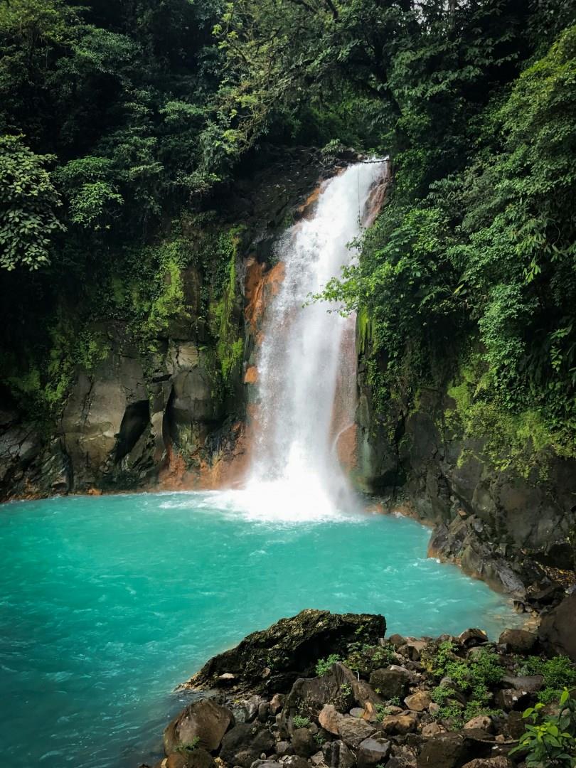
Celeste River
Hidden in the northern region of Costa Rica, the Celeste River (Río Celeste) winds through Tenorio Volcano National Park with a color so vivid it seems unreal. The river’s striking turquoise hue is caused by a natural chemical reaction between two mineral-rich streams, Quebrada Agria and Río Buena Vista, which merge at a point known as "El Teñidero." This one-of-a-kind phenomenon creates the illusion that the water has been dyed blue, even though no pigments are present.

Bridgeport
Bridgeport, Connecticut, offers visitors a fascinating mix of historical significance, cultural diversity, and coastal charm. As the largest city in the state, Bridgeport is known for its rich industrial past and vibrant waterfront. One of the must-visit spots is Seaside Park, a stunning 325-acre public park designed by Frederick Law Olmsted, the same visionary behind New York’s Central Park.

Seward
This quaint port city is breathtakingly beautiful! Surrounded by peaks, Seward fjords are the perfect whale and porpoise habitat, and both seals and puffins fill the Alaska SeaLife Center. Those looking for a challenge can hike the western trail to the summit of Mount Marathon.

Great Exuma
The Exumas are located in the middle of The Bahamas, yet remain mostly undisturbed. A collection of some 365 cays and islands stretching over 120 miles, The Exumas are supported at the far southern tip of the chain by two main islands, Great Exuma and Little Exuma.