
Svalbard
This mountainous archipelago offers magnificent views of stark white glaciers and snowfields, which cover a vast stretch of the region. Arctic flora and fauna fascinate; catch a glimpse of polar bears, reindeer, arctic foxes, and walruses amongst the mossy tundra and icy coasts. In the summer, visitors will witness the rare splendor of Svalbard’s midnight sun.
Padstow
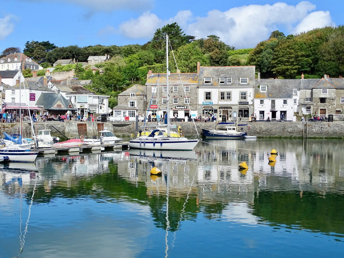
Padstow is a small harbour town on the north coast of Cornwall, set beside the Camel Estuary where the river meets the Atlantic. Its working harbour remains the centre of the town, surrounded by narrow streets, stone buildings, independent shops, cafés, and restaurants. The waterfront also provides views across the estuary toward Rock and the surrounding coast.
Ruaha National Park
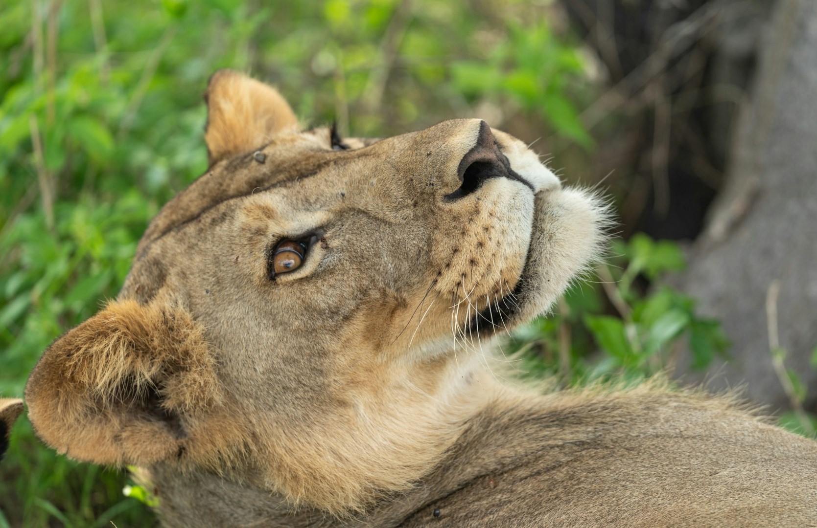
Ruaha National Park is a vast protected area in south-central Tanzania, covering about 20,226 square kilometres. The park is defined by a varied landscape of open savanna, miombo woodland, rocky hills, seasonal rivers, and large baobab trees. The Great Ruaha River forms one of its most important natural features, providing water and supporting wildlife across the surrounding plains.
East End
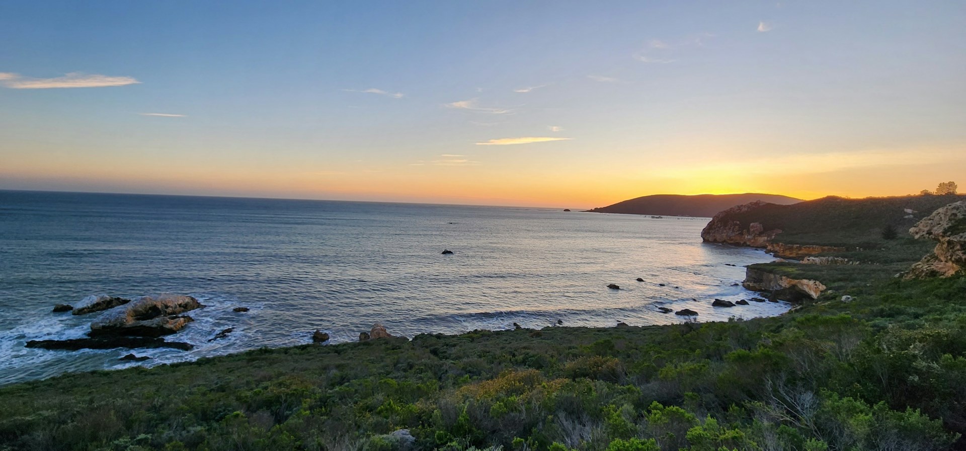
East End is a district on the eastern side of Grand Cayman, facing the open Caribbean Sea and covering a quieter stretch of the island away from George Town and the main resort areas. The district includes small settlements, low coastal vegetation, rocky shorelines, beaches, and shallow reef areas.
Tofo Beach
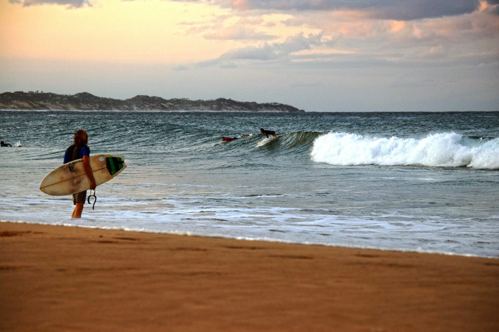
Tofo Beach is a coastal village and beach destination in Inhambane Province, southern Mozambique, overlooking the Indian Ocean. The settlement is known for its broad sandy beach, warm water, coastal dunes, and strong connection to marine activities. Tofo has a relaxed village setting with restaurants, guesthouses, small shops, and local markets close to the shore. Its location near Inhambane city makes it one of the province’s best-known coastal destinations.