Portugal
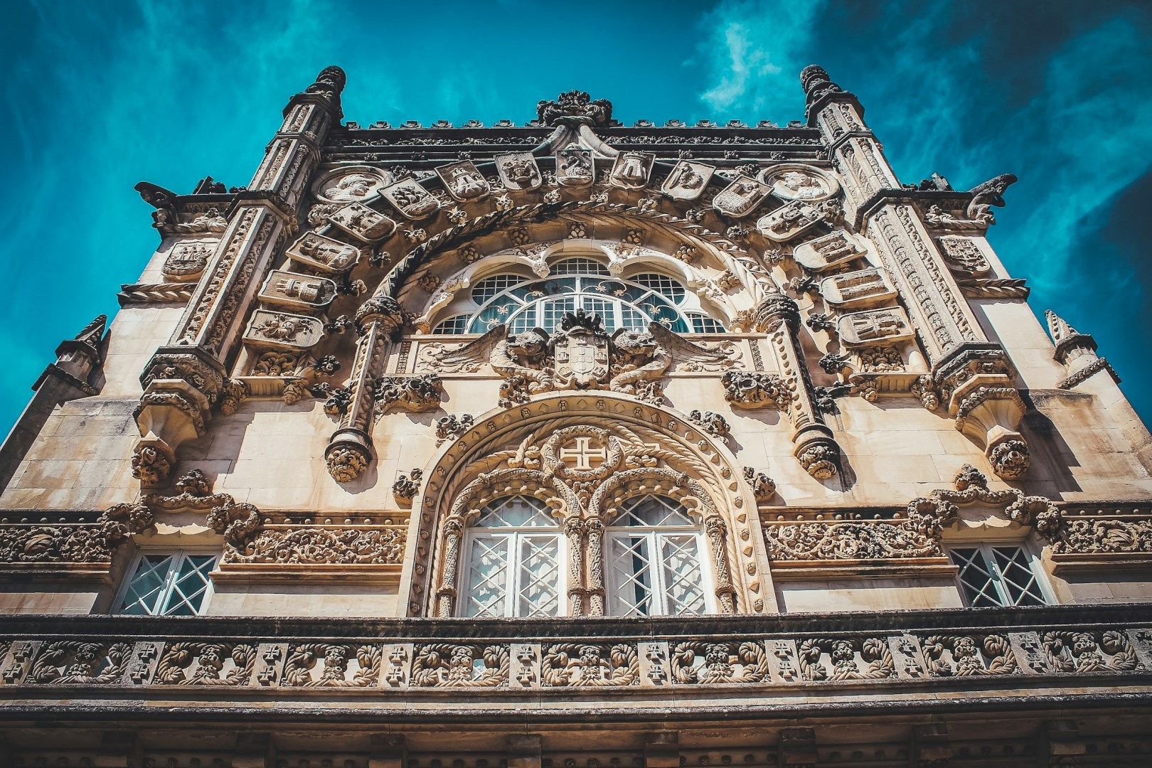
Portugal offers a layered experience shaped by maritime history, deep-rooted traditions, and a coastline that stretches for nearly 1,800 kilometers. In Lisbon, the streets of Alfama wind uphill toward São Jorge Castle, where views of red-tiled rooftops and the Tagus River reveal how the city was rebuilt after the 1755 earthquake. Trams still clatter through narrow streets, and fado music, often performed in candlelit taverns, tells stories of longing and the sea.
Northwest Territories
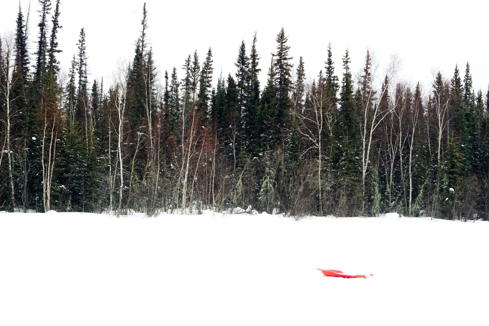
The Northwest Territories is a vast northern region of Canada defined by open tundra, boreal forests, major rivers, and some of the country’s largest lakes. Yellowknife, the territorial capital, sits on the northern shore of Great Slave Lake and serves as a central hub for travel, government, arts, and northern commerce. Farther north, communities such as Inuvik and Tuktoyaktuk provide access to the Arctic landscape and coastal regions. T
Bajos del Toro
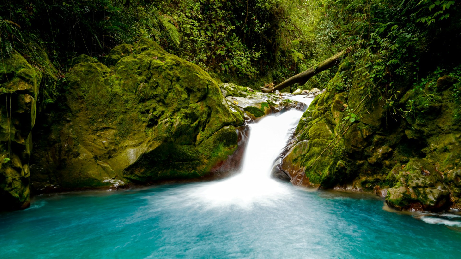
Bajos del Toro is a small mountain community in Alajuela Province, set in a highland valley between Poás Volcano and the Juan Castro Blanco National Park area. The region is known for its cool climate, forested slopes, rivers, and concentration of waterfalls. Its rural landscape includes farms, pastures, wooded hills, and small settlements connected by winding roads.

Virgin Gorda
Part of the British Virgin Islands, Virgin Gorda is an island in the Caribbean famous for The Baths National Park, whose natural geologic granite formations dot the island's beaches and create stunning tidal pools and grottoes.
Rocamadour
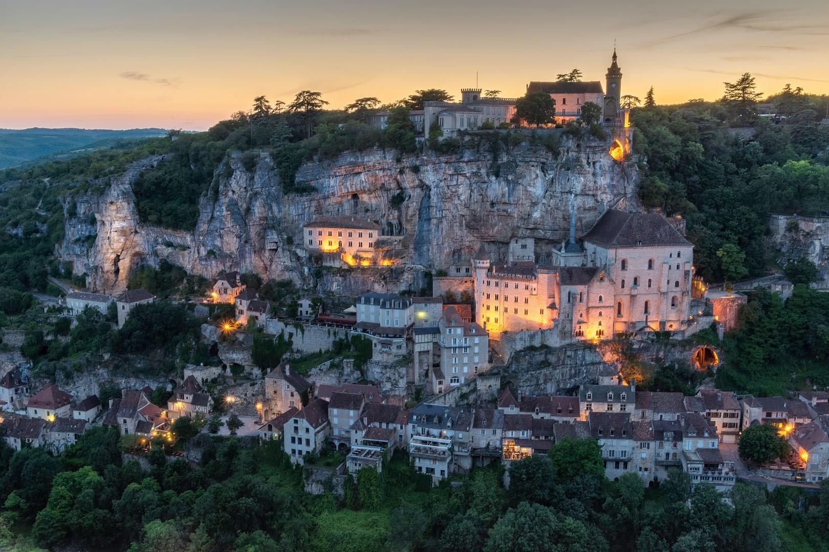
Rocamadour is a remarkable village set against a steep limestone cliff in the Lot department of southwestern France. Its stone buildings, narrow lanes and ancient sanctuaries rise in stages above the Alzou River valley, giving the settlement a striking silhouette that has drawn visitors for centuries. Pilgrims have come here since the Middle Ages to see the Black Madonna in the Chapelle Notre-Dame and to walk the Chemin de Croix.