Te Anau
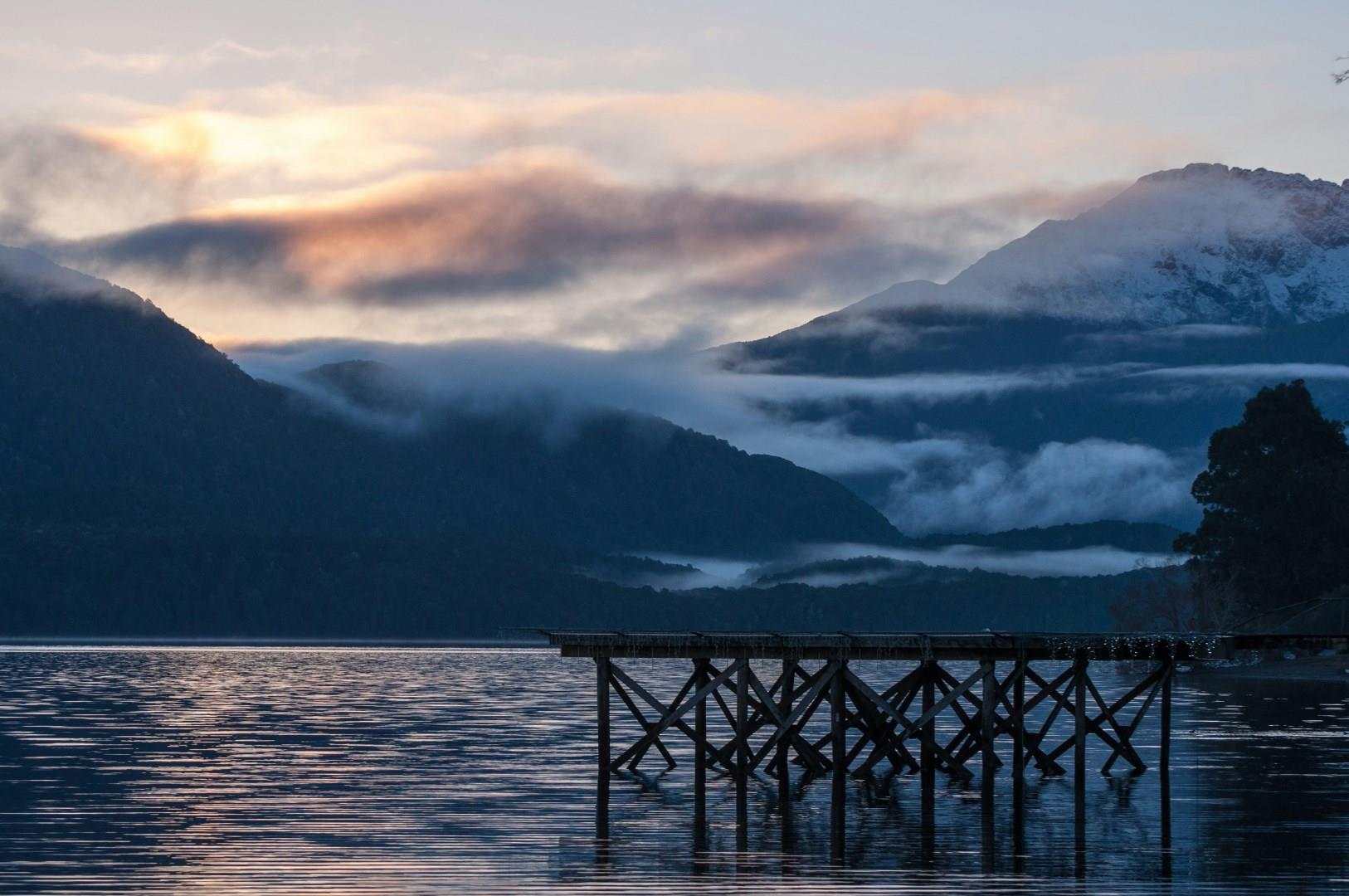
Te Anau sits on the edge of New Zealand’s second-largest lake, acting as the unofficial gateway to Fiordland National Park. While it’s often viewed as a starting point for trips to Milford Sound, the town itself offers a slower, more scenic way to experience the South Island’s dramatic landscapes. Te Anau’s lakefront is a mix of walking paths, local birdlife, and wide-open views across snow-dusted peaks.
NEOM
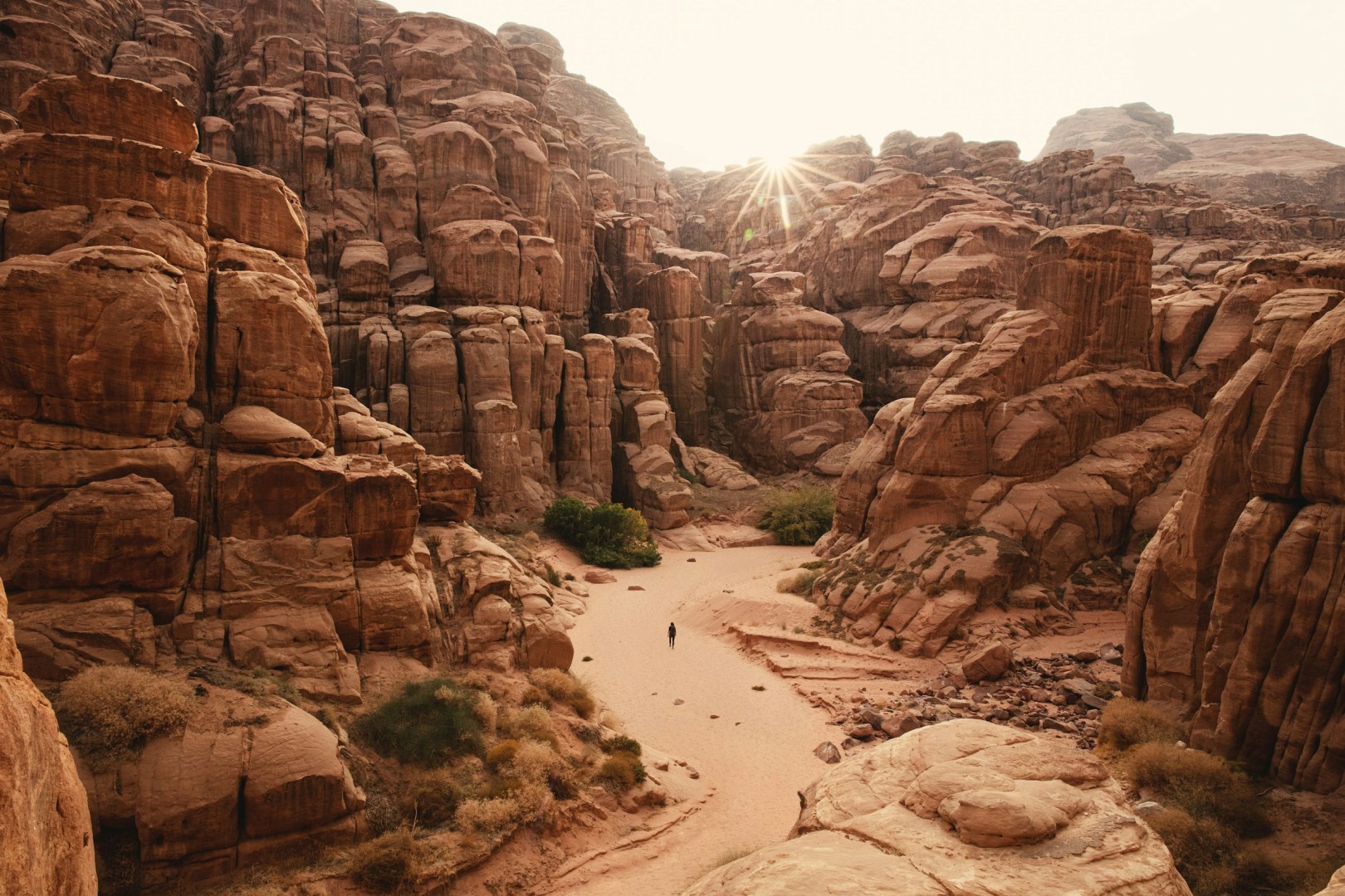
NEOM is a large region under development in northwestern Saudi Arabia, extending across mountains, deserts, coastal plains, and Red Sea waters. It covers about 26,500 square kilometers and includes 468 kilometers of coastline, placing it near the meeting point of Asia, Africa, and Europe. Rather than being a single city, NEOM consists of several planned areas and projects, including The Line, Oxagon, Trojena, Magna, and the Islands of NEOM.
Napo River
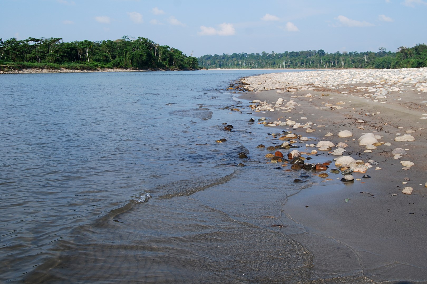
A tributary of the Amazon, the Napo River (Río Napo) originates in the east Andes mountains. It flows east through Ecuador, then southeast into Peru, where it joins the larger river roughly 50 miles downstream from Iquitos.
La Palma
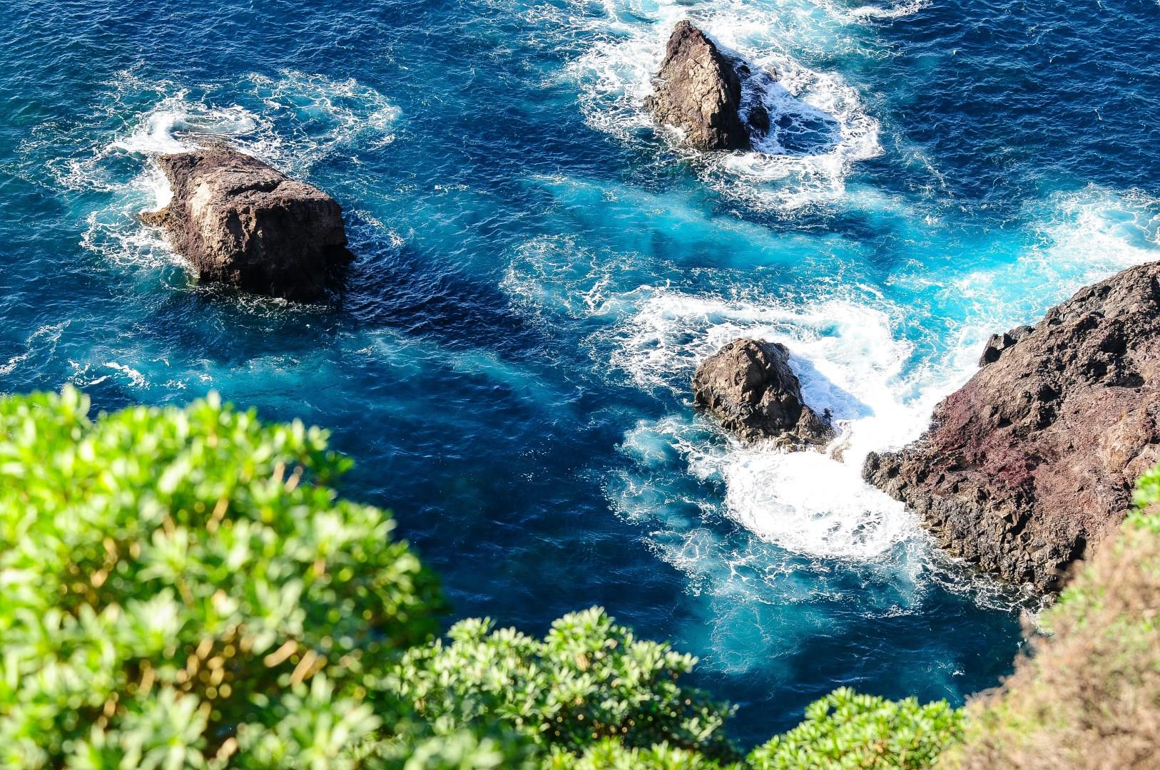
La Palma (also San Miguel de La Palma) is the fifth of Spain's Canary Islands. This mountainous volcanic island is a natural wonder of tropical vegetation. Its coast is lined by jagged cliffs and plunging ravines, and its beaches are covered with black sand. Thanks to dry climate and the height of its mountains creating excellent observation conditions, La Palma has become the home of some of the world's largest telescopes, seated on the rocky ridge called El Roque de los Muchachos.
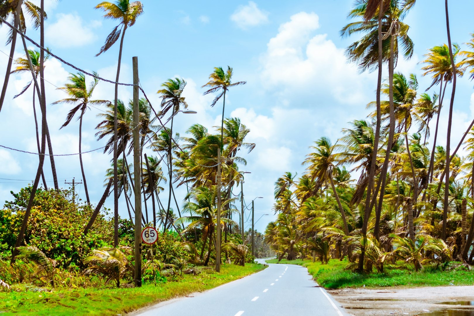
Mayaro Bay
Mayaro Bay is a long stretch of coastline on the southeastern side of Trinidad, facing the Atlantic Ocean and extending along the Mayaro coast. The area is known for its broad sandy beaches, coconut palms, coastal vegetation, and low-lying landscapes shaped by the sea. Unlike Trinidad’s more developed northwestern coastal districts, Mayaro has a more rural character, with villages, fishing activity, small farms, and scattered residences along the shoreline.