The capital of British Columbia is Victoria, and the total area equals 366,253 square miles. This province has a truly diverse climate: everything from majestic mountains to sparse deserts to rugged coastlines can be found here.
Located on the southern end of Baja California Sur in Mexico, the Los Cabos municipality is a popular resort destination. Including the stunning city of Cabo San Lucas, Los Cabos offers spectacular beaches, panoramic ocean views, and a variety of fun activities, including golfing, hiking, and snorkeling.
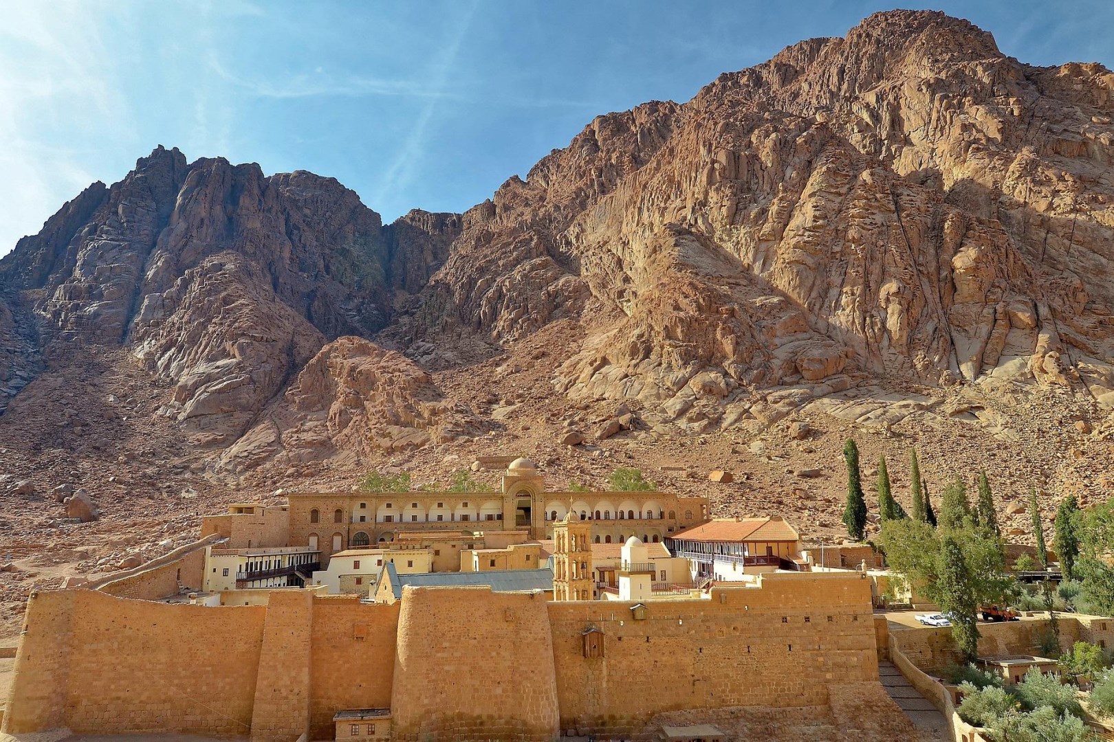
St. Catherine's Monastery, nestled at the foot of Mount Sinai in Egypt, is a beacon of historical and spiritual significance. Founded in the 6th century by Emperor Justinian, this ancient monastery is one of the world's oldest continuously operating Christian monasteries and is a UNESCO World Heritage Site.
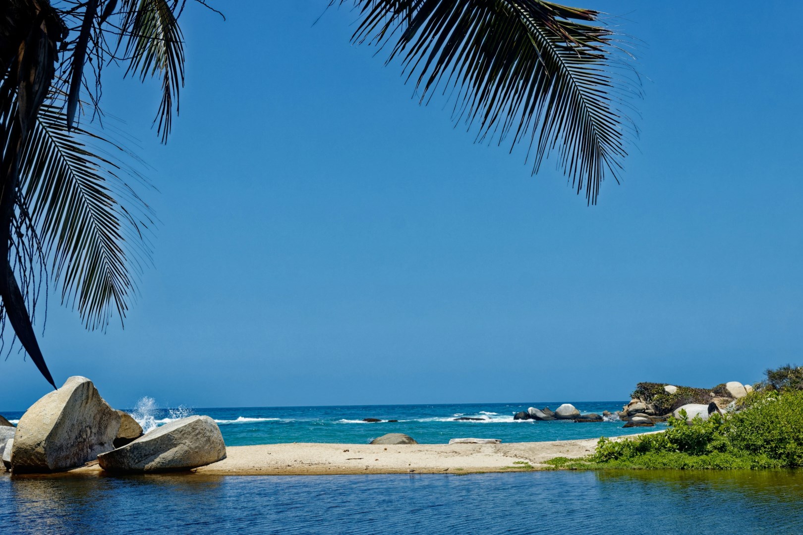
Tayrona National Natural Park, located on Colombia’s northern Caribbean coast, is where the Sierra Nevada mountains plunge into the sea, creating a landscape of wild beaches, dense rainforest, and ancient archaeological sites. Just an hour from Santa Marta, this protected area stretches over 150 square kilometers of land and marine territory. Its coastline is dotted with hidden coves, palm-fringed bays, and massive boulders sculpted by wind and time.
Nestled on the southern tip of California's Baja Peninsula, there's a feeling of peace on Cabo San Lucas, Mexico. Find your own private sand dune and bask in the sun. Walk along the famous Playa del Amor or explore Cabo's unique rock formations that are found in almost every cove. For a special treat, stop and watch artists create black coral jewelry.
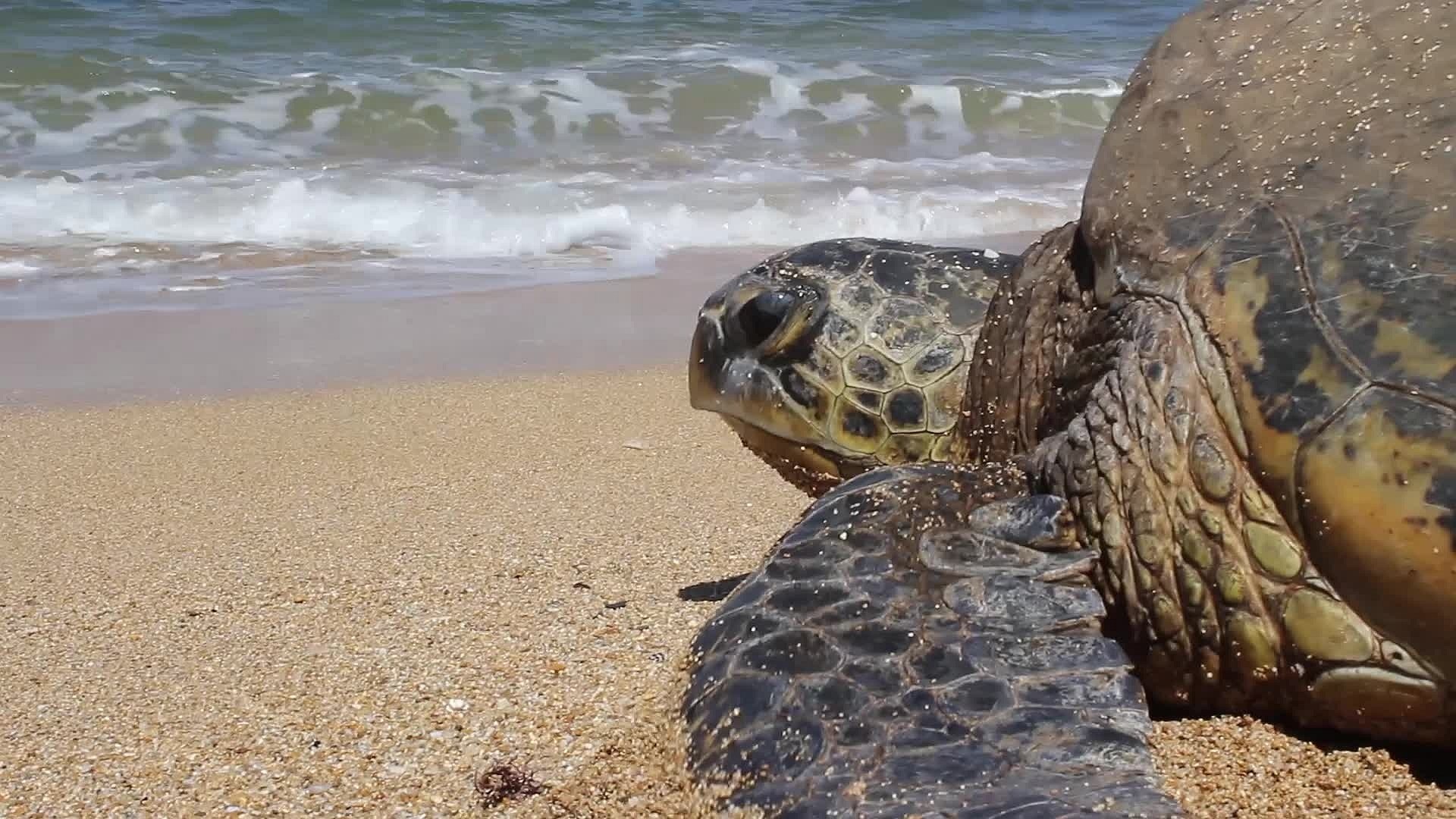
Photo Credit: Photo by Christian Joudrey on Unsplash
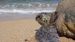
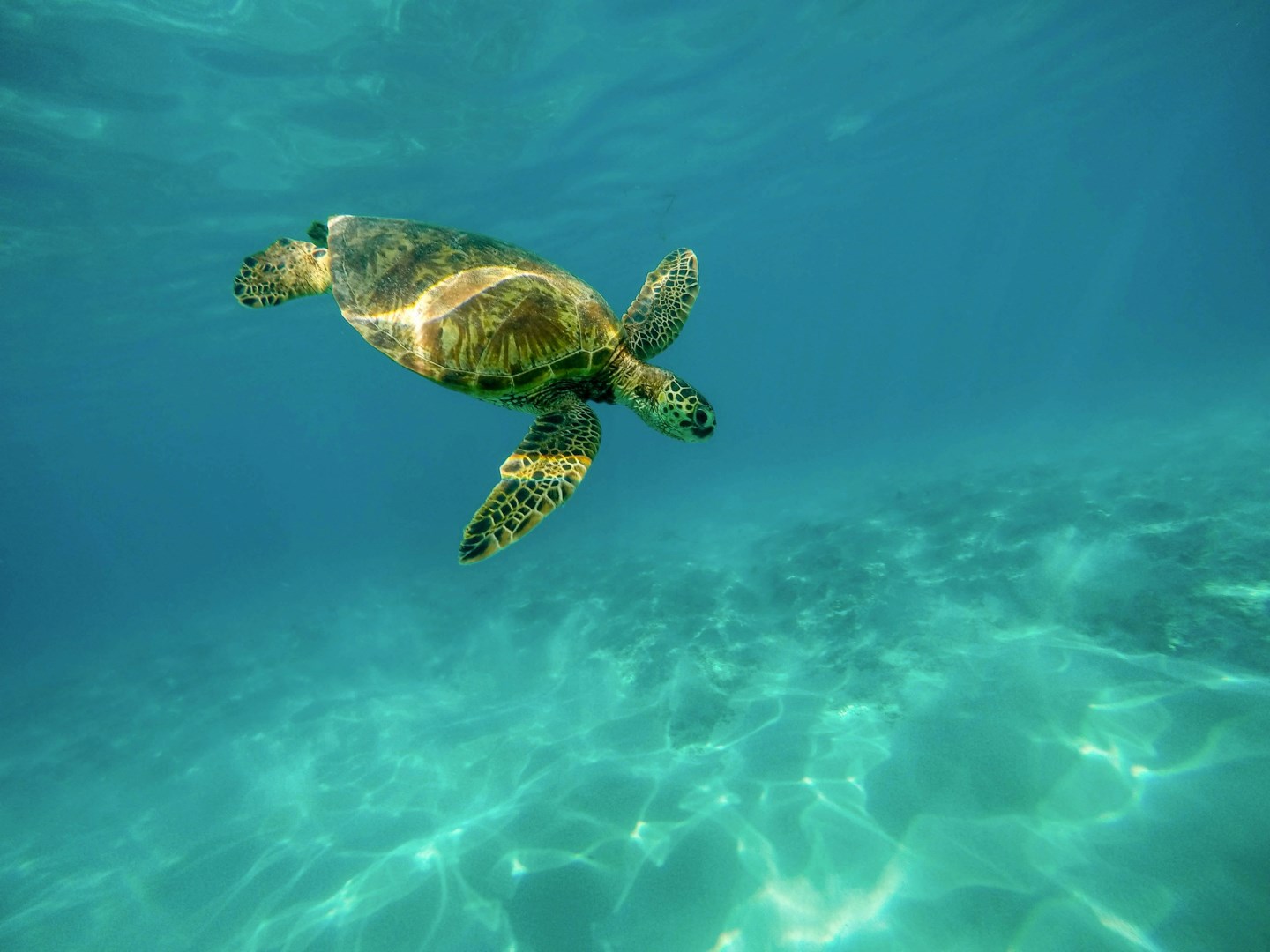
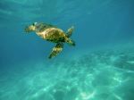
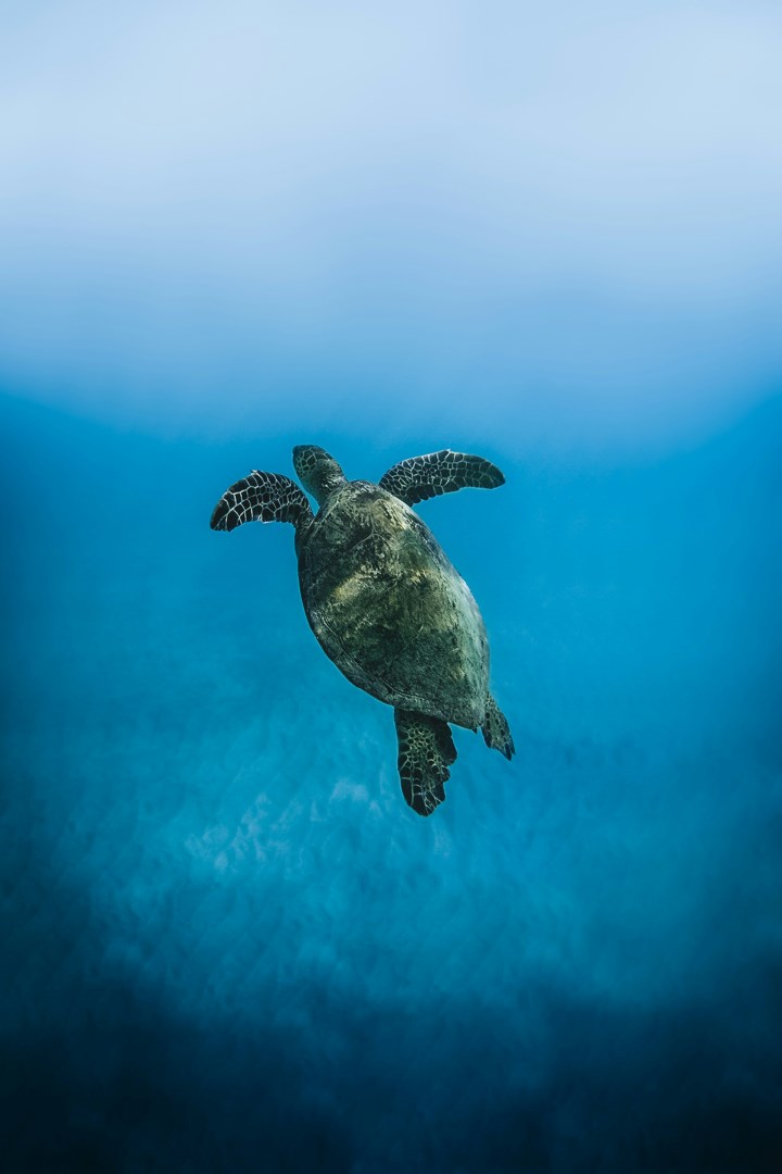
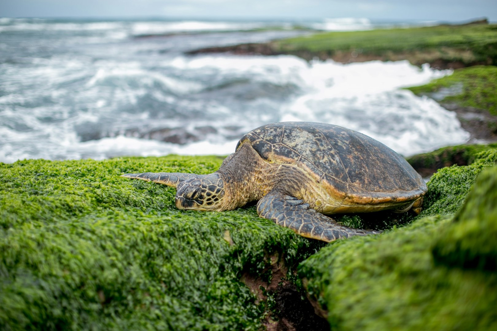
Turtle
Photo Credit: Photo by Jeremy Bishop on Unsplash
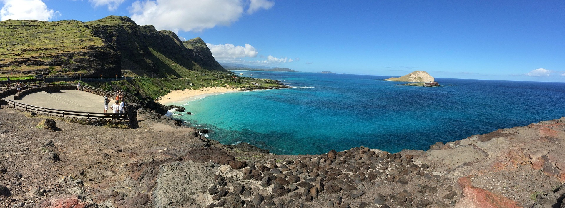
Waimanalo Beach
Photo Credit: Photo by Skye on Unsplash
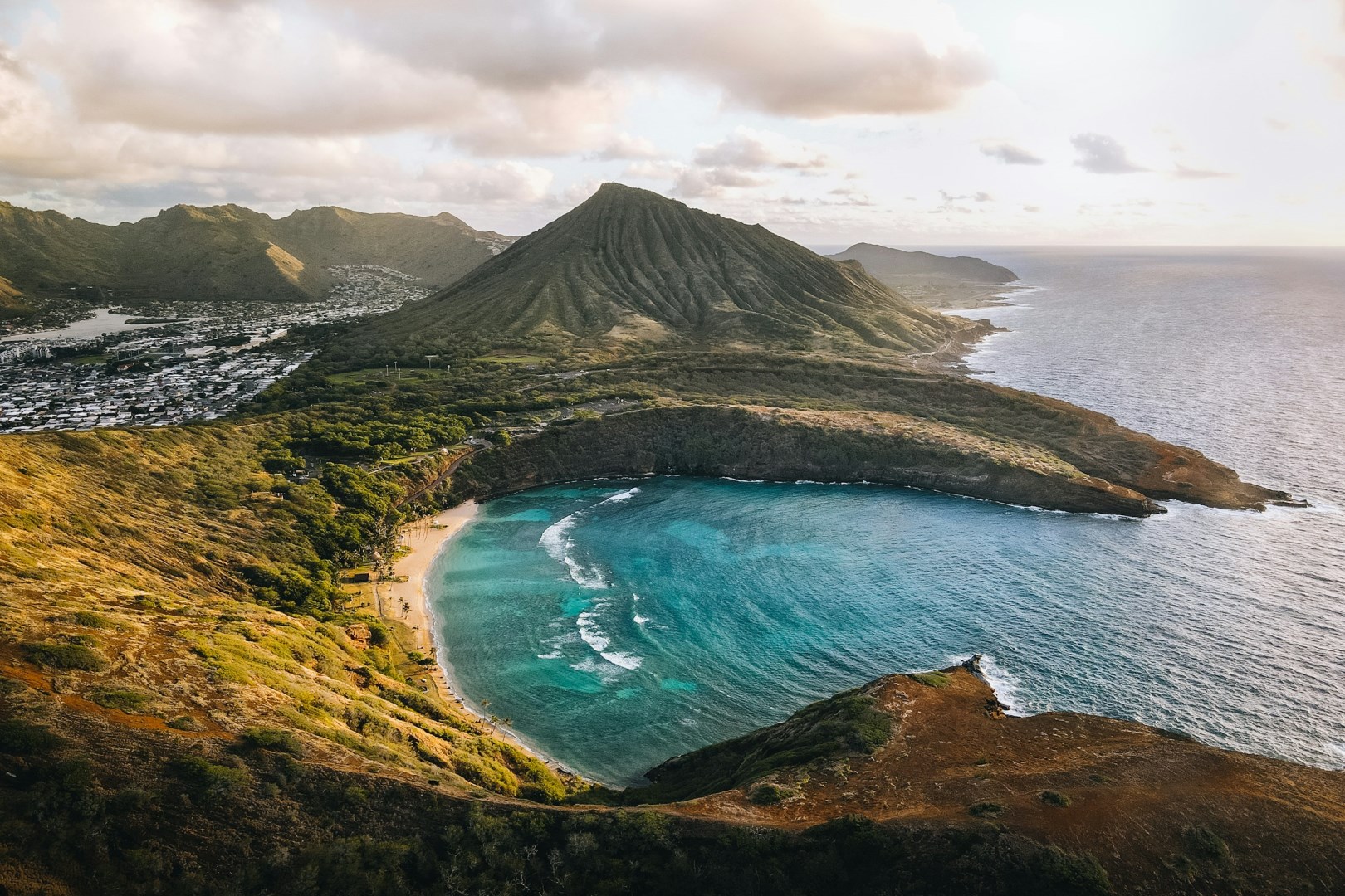
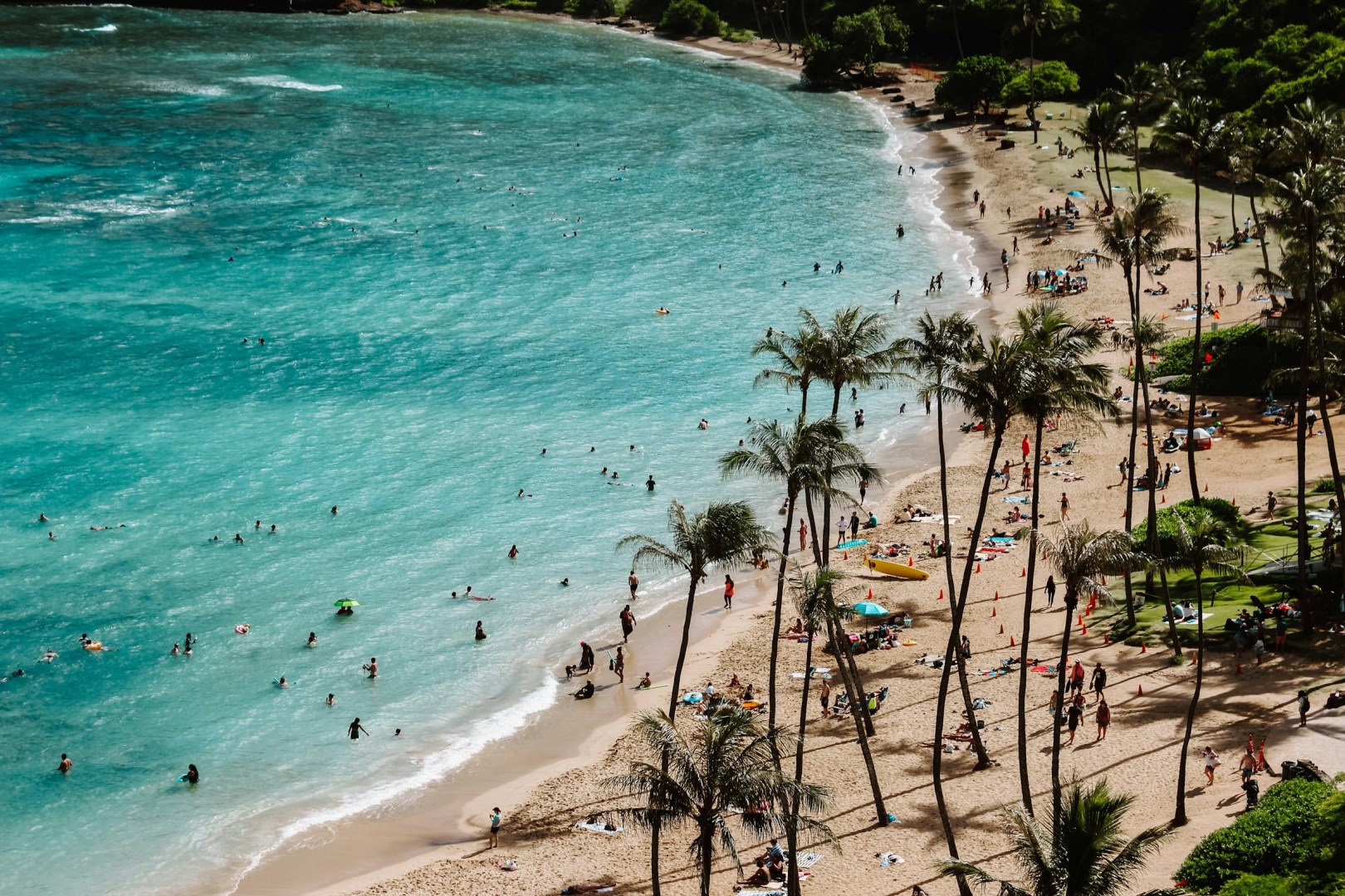
Hanauma Bay
Photo Credit: Photo by Samantha Sophia on Unsplash
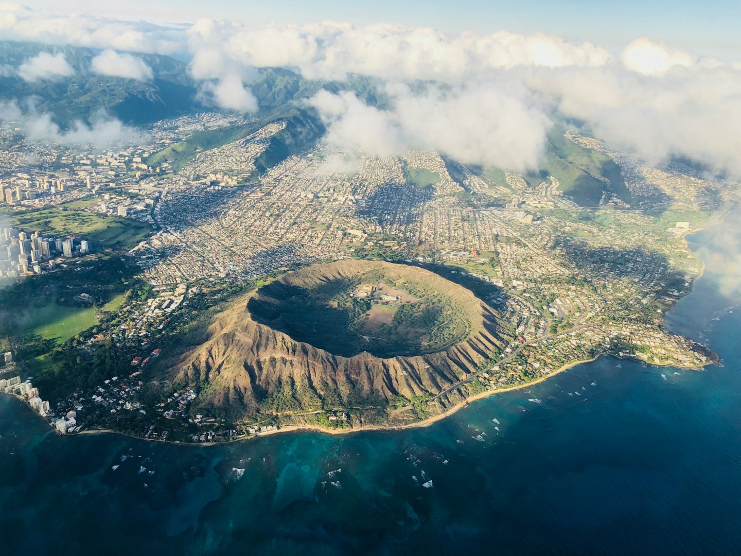
Diamond Head Crater
Photo Credit: Photo by Chase O on Unsplash
Haleiwa
Photo Credit: Photo by Matt Paul Catalano on Unsplash
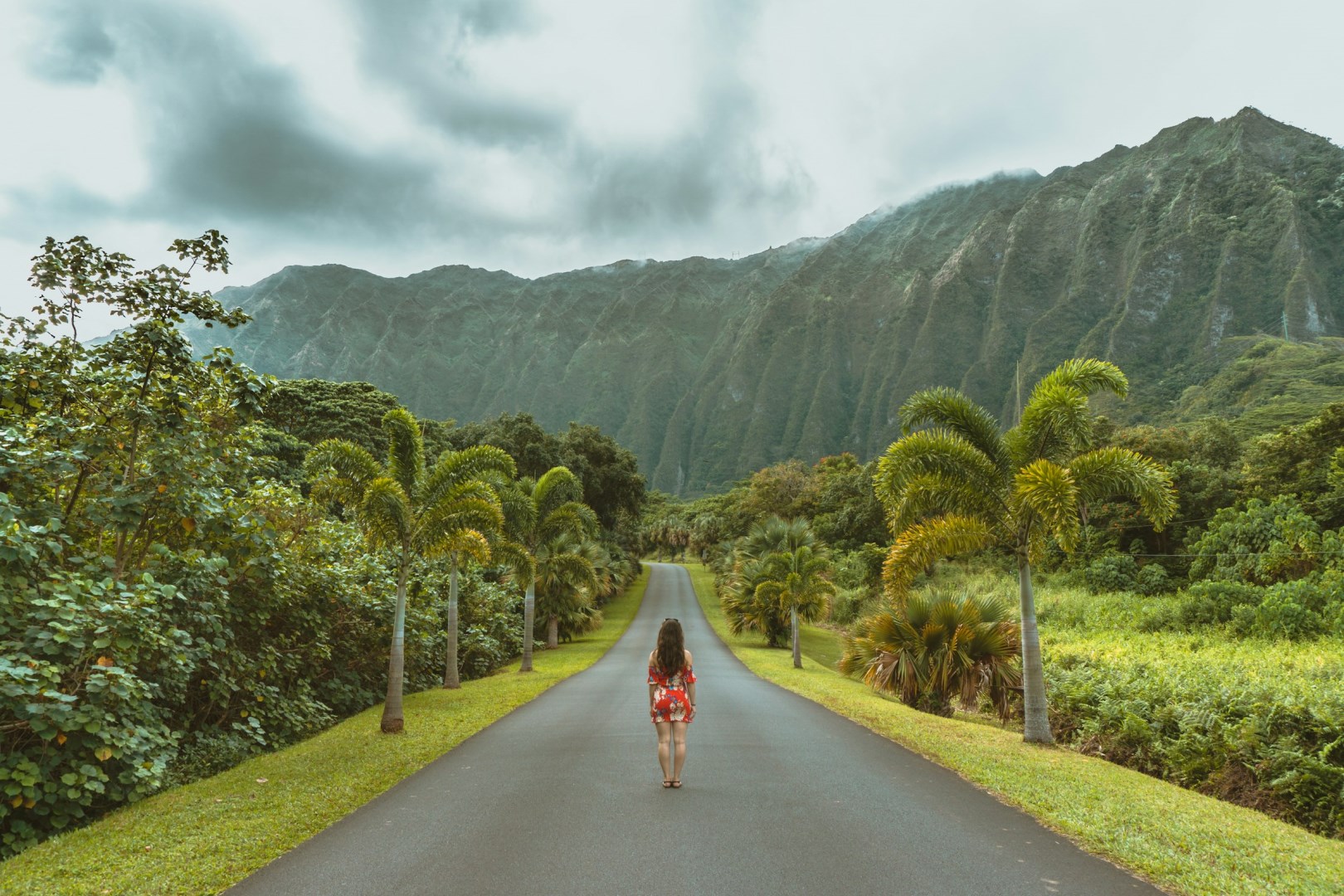
Ho'omaluhia Botanical Garden, Kaneohe
Photo Credit: Photo by Darren Lawrence on Unsplash
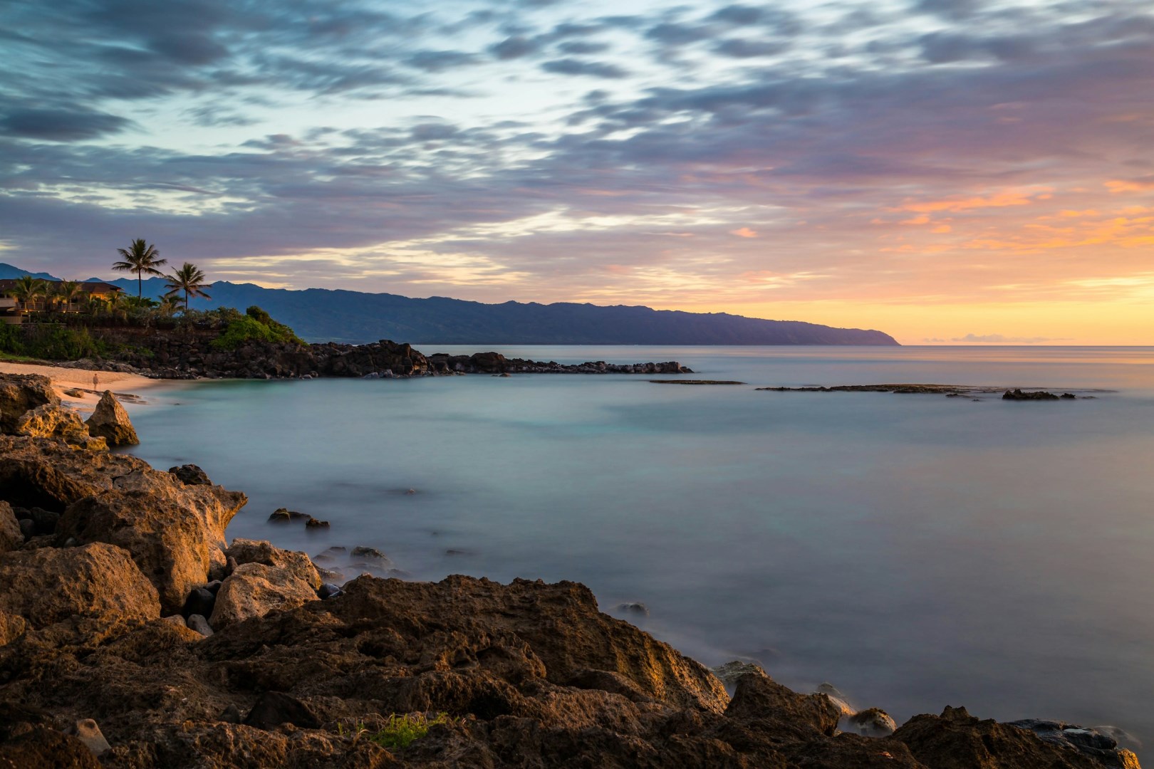
Three Tables Beach, Haleiwa
Photo Credit: Photo by Christian Joudrey on Unsplash
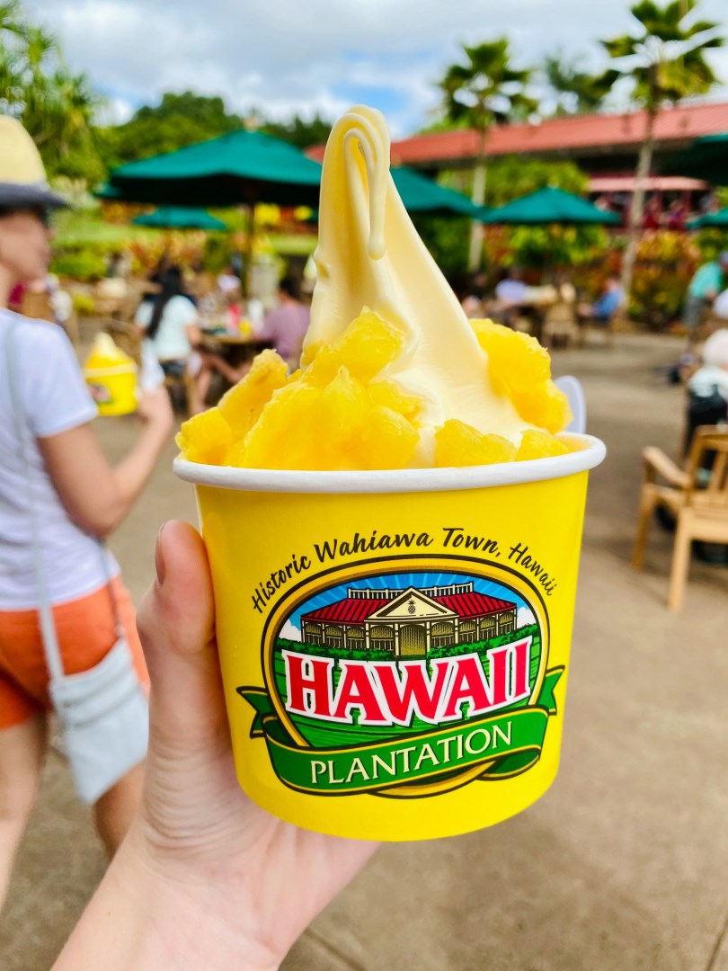
Dole Plantation, Wahiawa
Photo Credit: Photo by Ava W. on Unsplash
Photo Credit: Photo by Kvnga on Unsplash
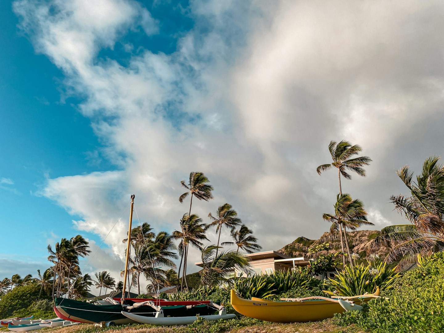
Lanikai Shore
Photo Credit: Photo by Julian Armstrong on Unsplash
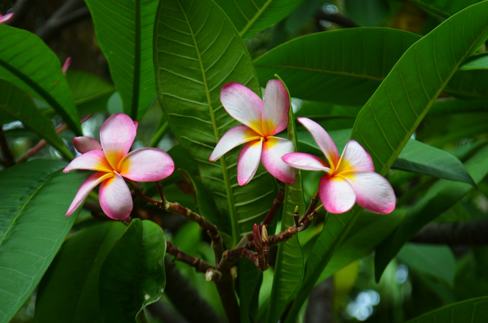
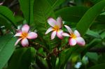
Plumeria
Photo Credit: Photo by Ariana Kaminski on Unsplash
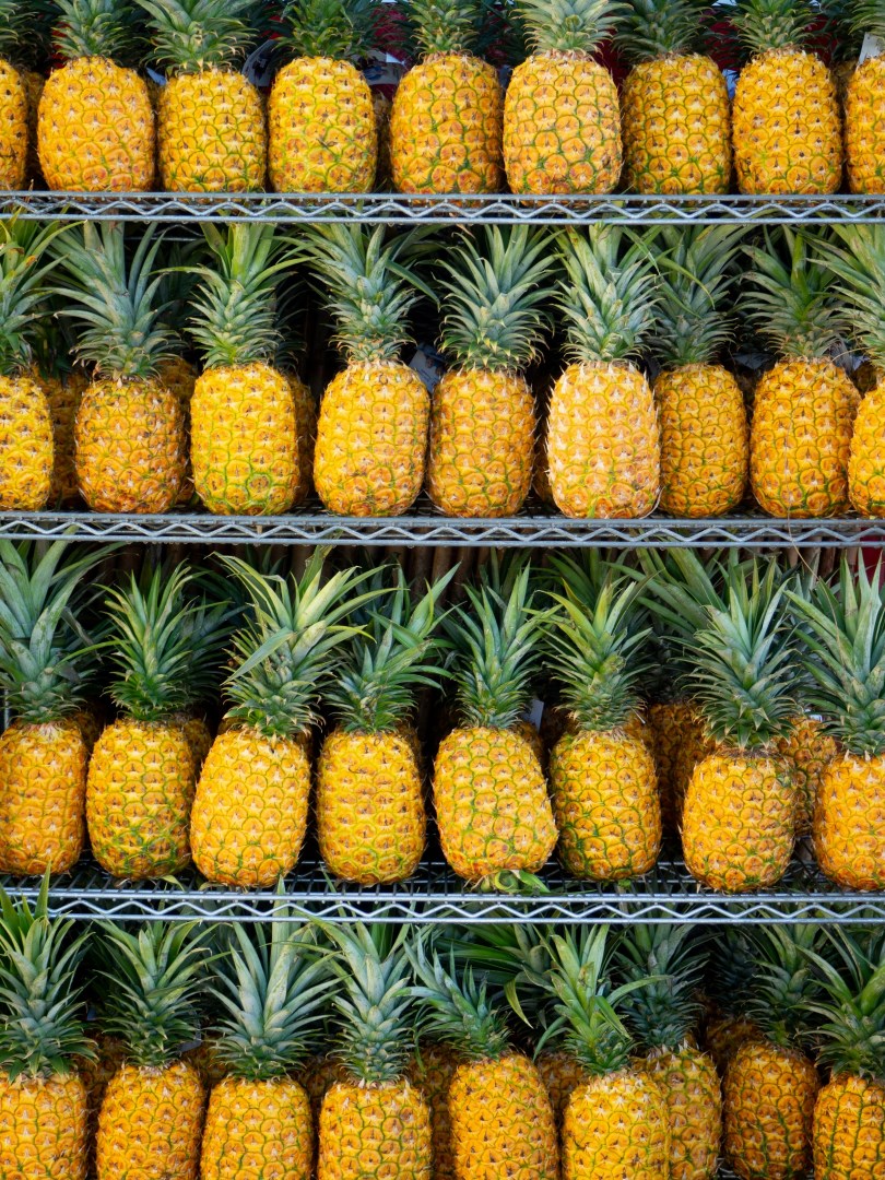
Pineapple
Photo Credit: Photo by Fiona Smallwood on Unsplash
Photo Credit: Photo by Peter Thomas on Unsplash
Photo Credit: Photo by Jakob Owens on Unsplash
Photo Credit: Photo by Keith Champaco on Unsplash
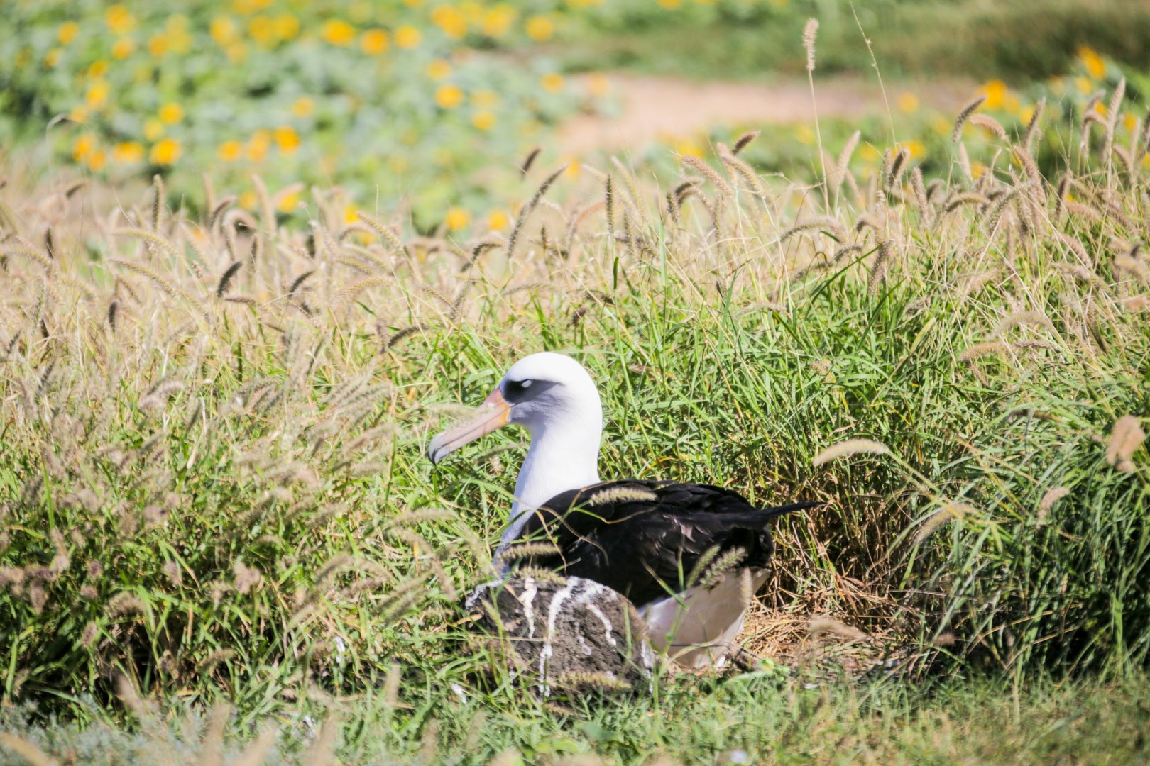
Laysan Albatross nesting
Photo Credit: Photo by Jake Bergen on Unsplash
Oahu, island in central Hawaii, between Kauai and Molokai islands, in Honolulu County; it is the third largest island in the state, after Hawaii and Maui. The most heavily populated of the Hawaiian islands, Oahu is known as the Gathering Place. It is about 64 km (about 40 mi) long and 42 km (26 mi) wide. Oahu is the commercial center of Hawaii and is important to United States defense in the Pacific. Pearl Harbor naval base is situated here. Two parallel mountain ranges, the Koolau Range and the Waianae Range, cross Oahu from northwest to southeast. A wide fertile plateau separates the two ranges. The chief agricultural industries in Oahu are the growing and processing of pineapples and sugarcane; tourism also is very important to the economy. Among the many popular beaches is the renowned Waikiki, backed by the famous Diamond Head, an extinct volcano. The largest community, Honolulu, is the state capital.