
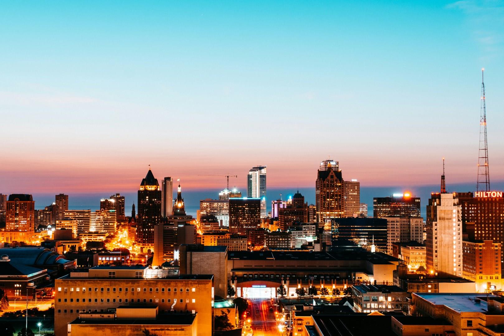
Milwaukee
Milwaukee is a city where the echoes of its brewing past mingle with vibrant arts and cultural scenes today. Known worldwide for its beer heritage, visitors can explore the Harley-Davidson Museum and then head to the historic breweries that shaped the city’s identity. The Milwaukee Public Market offers a lively food hall experience with fresh local fare, from artisanal cheeses to inventive craft beers, capturing the city’s deep-rooted love for bold flavors and innovation.

Isle of Skye
The Isle of Skye is said to be the ancient island were warriors of the famed Red Branch of Irish mythology trained.
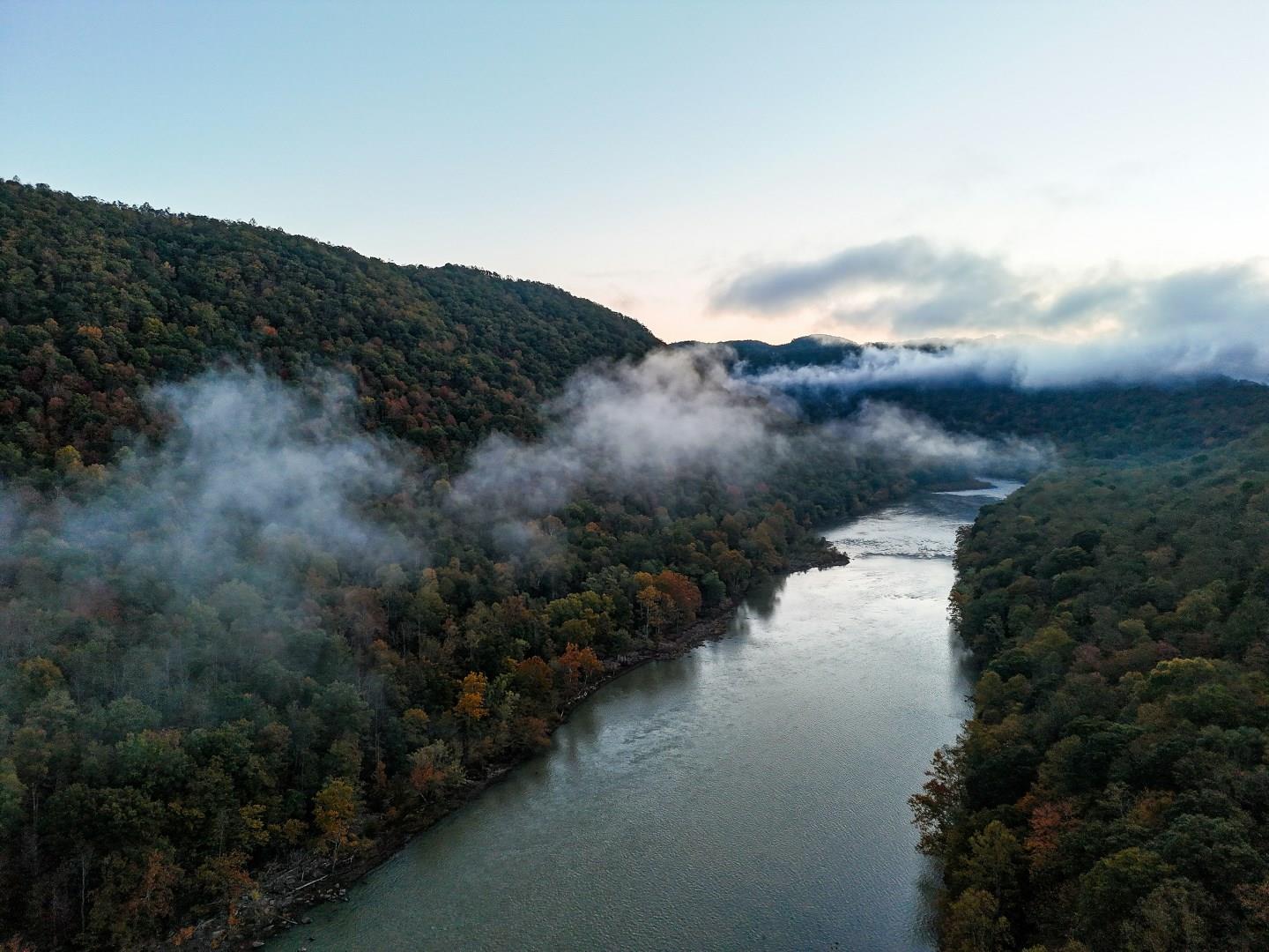
New River Gorge National Park & Preserve
New River Gorge National Park & Preserve in West Virginia has captured the attention of travelers with its rugged landscape and storied past. Established as a national park in 2020, this area was long known for its coal mining heritage and railroad history. Today, visitors can explore remnants of old mining towns and take in views from historic train trestles, all while experiencing some of the most dramatic river and canyon scenery in the eastern United States.

Isabela Island
Isabella Island is the largest of the Galapagos islands, on the western end of the archipelago. Shaped like a seahorse when viewed from above, Isabella is home to more wild tortoises than any other island, as well as a wide variety of other animal, bird and marine life.

Orlando
Orlando, Florida, is a theme park lover's paradise! Home to family favorites like Walt Disney World® Resort, SeaWorld® Orlando, and Universal Orlando™ Resort, there's endless opportunity for adventure and entertainment in sunny Orlando. Golfers will enjoy hitting the links at one of the many golf courses and clubs sprinkled throughout the city.


