

Christchurch
Welcome to Christchurch, a picturesque city with English heritage. Here, the new mixes with the old in enchanting ways, with edgy modern architecture and old buildings sitting side by side
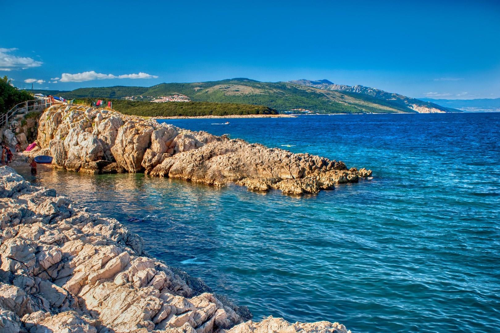
Croatia
Croatia, a gem of the Adriatic coast, invites travelers to explore its stunning landscapes and rich history. The capital city, Zagreb, is a vibrant blend of medieval charm and modern sophistication. Wander through the Upper Town (Gornji Grad), where cobblestone streets lead you to the historic Stone Gate and the majestic Zagreb Cathedral. For a taste of local culture, visit Dolac Market, where fresh produce and traditional Croatian delicacies create a lively atmosphere source.

Hurghada
Hurghada, located on the western shore of the Red Sea, is a vibrant Egyptian city known for its stunning beaches and thriving marine life. As one of Egypt's premier resort destinations, it offers an array of activities for beachgoers and adventure seekers alike. The city's pristine beaches are perfect for relaxing, while the warm, crystal-clear waters invite visitors to dive into a world of colorful coral reefs and diverse marine species.

Tirana
Tirana, the lively capital of Albania, is a city that blends historical charm with modern vibrancy. At the heart of its transformation is Skanderbeg Square, a bustling hub named after the national hero Gjergj Kastrioti Skanderbeg.

Los Cabos
Located on the southern end of Baja California Sur in Mexico, the Los Cabos municipality is a popular resort destination. Including the stunning city of Cabo San Lucas, Los Cabos offers spectacular beaches, panoramic ocean views, and a variety of fun activities, including golfing, hiking, and snorkeling.


