

Cagliari Sardinia
Cagliari is Sardinia's capital and largest city. Several civilizations have left their imprint here architecturally and culturally. Must-sees include the Museo Archeologico Nazionale di Cagliari, with its Roman and Byzantine treasures, as well as Castello, a medieval quarter situated on a hill above the city. The city is also known for its food and vibrant nightlife.
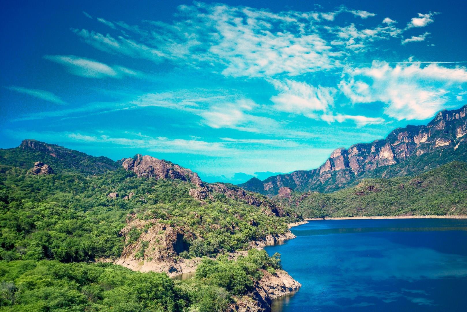
Sinaloa
Sinaloa, in Northwest Mexico, comprises 18 municipalities, and Culiacán Rosales serves as its capital. It is located opposite Baja California Sur, across the Gulf of California.

Toulon
Toulon, a vibrant port city on the French Riviera, is a hidden gem waiting to be explored. Known for its deep natural harbor, Toulon has long been a significant naval base for France, and the city's maritime heritage is still very much alive today. Visitors can explore the bustling Toulon Harbor, where yachts, fishing boats, and naval vessels coexist in a lively display of seafaring life.

Paro
Paro, Bhutan, is a serene valley town that offers a gateway to the mystical charm of the Land of the Thunder Dragon. Nestled amidst verdant hills and bisected by the glistening Paro Chhu river, Paro is home to some of Bhutan’s most iconic landmarks and cultural treasures. At the heart of this picturesque valley stands the majestic Paro Dzong, or Rinpung Dzong, a fortress-monastery with a history dating back to the 17th century.
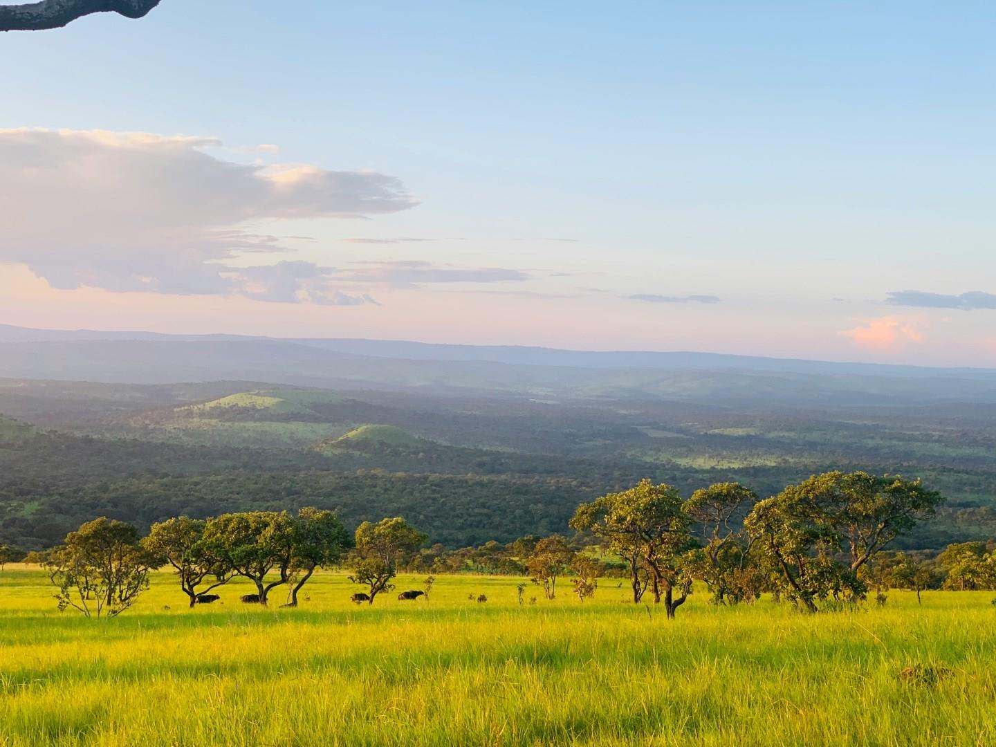
Cankuzo
Cankuzo, tucked in Burundi’s eastern corner near the Tanzanian border, offers travelers a lesser-known but deeply rewarding experience. Known for its rolling hills, scattered woodlands, and untouched landscapes, Cankuzo is one of the country’s least populated provinces, which adds to its charm. The region’s peaceful setting makes it an ideal place to experience rural Burundi in its most genuine form.


